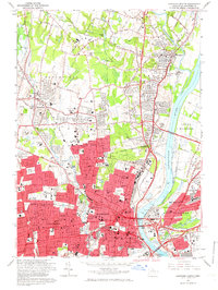
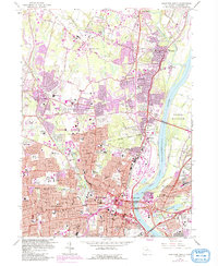
1964 Map of Hartford North
USGS Topo · Published 1966About this map
The Connecticut River bisects this mid-1960s landscape, serving as the geographic anchor for the dense urban growth of Hartford and its surrounding suburbs. The capital city is meticulously detailed, showing the State Capitol, State Supreme Court, and the Armory near Pope Park. This era captures the significant expansion of educational and religious institutions, including the University of Hartford, Loomis Institute, and the St Thomas Seminary. To the north and west, the transitions into Bloomfield and Windsor reveal a mix of residential development and older infrastructure, such as Old Iron Ore Road. Significant transportation links like the Bissell Bridge and the New York New Haven and Hartford RR illustrate the region's role as a major New England transit hub during the height of the post-war period.
Find a feature on this map
144 named features on this map. Tap any name to fly to it.
Don’t see what you’re looking for? This feature index may not catch every label — zoom into the map to look around manually.
Map Details
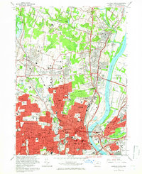
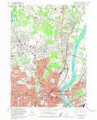
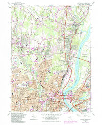
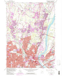
Editions of this 1964 Hartford North Map
6 editions found
Other maps of this area

1892 · Hartford
USGS Topo · 1:62,500

1892 · Meriden
USGS Topo · 1:62,500

1892 · Granby
USGS Topo · 1:62,500

1893 · Middletown
USGS Topo · 1:62,500

1893 · Meriden
USGS Topo · 1:62,500

1906 · Farmington
USGS Topo · 1:125,000

1928 · Windsor Locks
USGS Topo · 1:24,000

1928 · Windsor
USGS Topo · 1:24,000

1928 · Glastonbury
USGS Topo · 1:24,000

1928 · Broad Brook
USGS Topo · 1:24,000