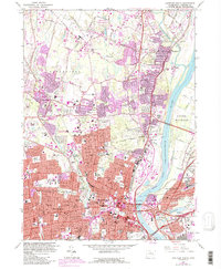
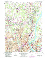
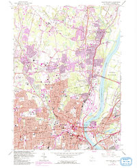
1964 Map of Hartford North
USGS Topo · Published 1992About this map
The Connecticut River bisects this urban landscape, defining the historic industrial and educational core of central Connecticut. This survey captures the mid-century expansion of Hartford and West Hartford, highlighting significant institutions like University of Hartford, St Josephs College, and the Loomis Institute. The transition from riverfront commerce to suburban residential patterns is evident in the dense street grids of Bloomfield and Windsor, while the eastern bank shows the industrial footprint of East Hartford near Rentschler Airport.
Find a feature on this map
112 named features on this map. Tap any name to fly to it.
Don’t see what you’re looking for? This feature index may not catch every label — zoom into the map to look around manually.
Map Details
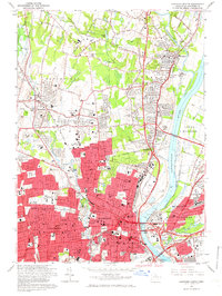
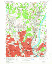
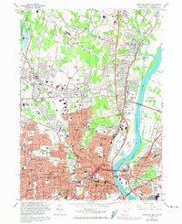
Editions of this 1964 Hartford North Map
6 editions found
Other maps of this area

1892 · Hartford
USGS Topo · 1:62,500

1892 · Meriden
USGS Topo · 1:62,500

1892 · Granby
USGS Topo · 1:62,500

1893 · Middletown
USGS Topo · 1:62,500

1893 · Meriden
USGS Topo · 1:62,500

1906 · Farmington
USGS Topo · 1:125,000

1928 · Windsor Locks
USGS Topo · 1:24,000

1928 · Windsor
USGS Topo · 1:24,000

1928 · Glastonbury
USGS Topo · 1:24,000

1928 · Broad Brook
USGS Topo · 1:24,000