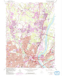
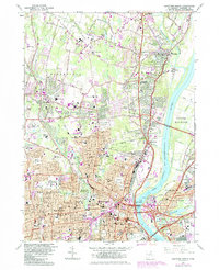
1964 Map of Hartford North
USGS Topo · Published 1992About this map
Hartford and its northern suburbs are captured in a period of intense post-war urbanization and infrastructure expansion. The Connecticut River serves as the central anchor for the region, bordered by industrial pumping stations and the meadows of South Windsor. This 1960s revision illustrates the dense concentration of educational and religious institutions that defined the local social landscape, ranging from the University of Hartford and Loomis Institute to the American School for the Deaf.
Find a feature on this map
132 named features on this map. Tap any name to fly to it.
Don’t see what you’re looking for? This feature index may not catch every label — zoom into the map to look around manually.
Map Details
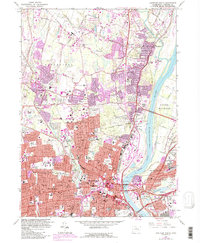
Editions of this 1964 Hartford North Map
6 editions found
Other maps of this area

1892 · Hartford
USGS Topo · 1:62,500

1892 · Meriden
USGS Topo · 1:62,500

1892 · Granby
USGS Topo · 1:62,500

1893 · Middletown
USGS Topo · 1:62,500

1893 · Meriden
USGS Topo · 1:62,500

1906 · Farmington
USGS Topo · 1:125,000

1928 · Windsor Locks
USGS Topo · 1:24,000

1928 · Windsor
USGS Topo · 1:24,000

1928 · Glastonbury
USGS Topo · 1:24,000

1928 · Broad Brook
USGS Topo · 1:24,000