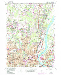
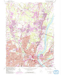
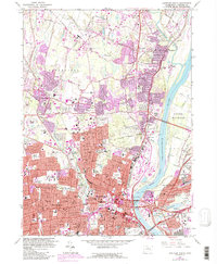
1964 Map of Hartford North
USGS Topo · Published 1984About this map
The Connecticut River serves as the central artery for this densely developed urban corridor, separating Hartford and West Hartford from the communities of East Hartford and South Windsor. The mid-1980s landscape is defined by its institutional density and sophisticated transportation network, featuring prominent bridges such as the Bissell Bridge and the Bulkeley Bridge. Educational landmarks are particularly prevalent, including the sprawling University of Hartford, Trinity College, and the Loomis Institute in Windsor.
Find a feature on this map
71 named features on this map. Tap any name to fly to it.
Don’t see what you’re looking for? This feature index may not catch every label — zoom into the map to look around manually.
Map Details
Editions of this 1964 Hartford North Map
6 editions found
Other maps of this area

1892 · Hartford
USGS Topo · 1:62,500

1892 · Meriden
USGS Topo · 1:62,500

1892 · Granby
USGS Topo · 1:62,500

1893 · Middletown
USGS Topo · 1:62,500

1893 · Meriden
USGS Topo · 1:62,500

1906 · Farmington
USGS Topo · 1:125,000

1928 · Windsor Locks
USGS Topo · 1:24,000

1928 · Windsor
USGS Topo · 1:24,000

1928 · Glastonbury
USGS Topo · 1:24,000

1928 · Broad Brook
USGS Topo · 1:24,000