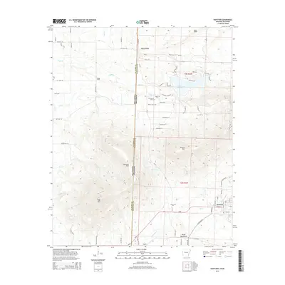
2014 Map of Hartford
USGS Topo · Published 2014About this map
Hartford serves as the focal point of this borderland survey, situated where the southern edge of the Arkansas River Valley meets the rising elevations of the Ouachita Mountains. The town's layout and surrounding road network, including W Hartford Rd, reflect its position as a local hub near the Oklahoma-Arkansas state line. To the west, the massive prominence of Sugar Loaf Mtn and Oklahoma Peak dominate the landscape, illustrating the topographical transition from the lower valleys to the high ridges of the interior highlands.
Find a feature on this map
113 named features on this map. Tap any name to fly to it.
Don’t see what you’re looking for? This feature index may not catch every label — zoom into the map to look around manually.
Map Details
Editions of this 2014 Hartford Map
This is the sole edition of this map. No revisions or reprints were ever made.
Other maps of this area

1887 · Poteau Mountain #2
USGS Topo · 1:62,500

1887 · Greenwood
USGS Topo · 1:62,500

1890 · Fort Smith
USGS Topo · 1:125,000

1890 · Poteau Mountain
USGS Topo · 1:125,000

1899 · Poteau Mountain
USGS Topo · 1:125,000

1900 · Sallisaw
USGS Topo · 1:125,000

1900 · Winding Stair
USGS Topo · 1:125,000

1909 · Winding Stair
USGS Topo · 1:125,000

1911 · Sallisaw
USGS Topo · 1:125,000

1943 · Fort Smith
USGS Topo · 1:125,000