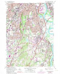
1964 Map of Hartford South
USGS Topo · Published 1983About this map
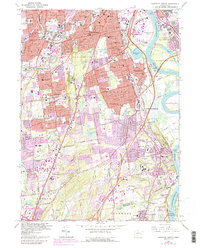
Trinity College and the Hartford State Capitol anchor the northern reaches of this mid-century survey, which reveals a landscape in rapid transition. The urban core of Hartford and East Hartford gives way to a network of institutional grounds and burgeoning residential developments in Wethersfield and Newington. Extensive public and social infrastructure is visible, ranging from the State Institute for Blind and Cedarcrest State Sanatorium to the sprawling State Veterans Home in Rocky Hill.
Find a feature on this map
92 named features on this map. Tap any name to fly to it.
Don’t see what you’re looking for? This feature index may not catch every label — zoom into the map to look around manually.
Map Details
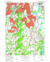
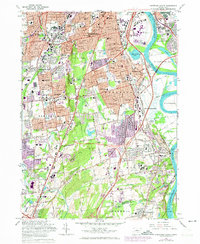
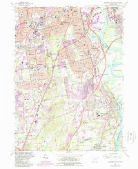
Editions of this 1964 Hartford South Map
5 editions found
Other maps of this area

1892 · Hartford
USGS Topo · 1:62,500

1892 · Meriden
USGS Topo · 1:62,500

1892 · Granby
USGS Topo · 1:62,500

1893 · Middletown
USGS Topo · 1:62,500

1893 · Meriden
USGS Topo · 1:62,500

1906 · Farmington
USGS Topo · 1:125,000

1928 · Cromwell
USGS Topo · 1:24,000

1928 · Windsor
USGS Topo · 1:24,000

1928 · Glastonbury
USGS Topo · 1:24,000

1928 · Manchester
USGS Topo · 1:24,000