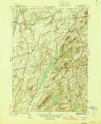
1944 Map of Hartford
USGS Topo · Published 1946About this map
The Barge Canal cuts through the northwest corner of this Washington County landscape, anchoring the transit corridor near Smiths Basin. Moving eastward, the terrain transitions into a complex system of ridges and lowlands dominated by the expansive Tamarack Swamp and the high elevations of Argyle Mountain and Black Mtn. The mid-1940s road network, featuring routes 40, 149, and 196, connects several small agricultural hubs including Hartford, South Hartford, and Belcher. For local historians and genealogists, the map preserves specific cultural landmarks such as the Adamsville Cem and Salem Sch. The drainage patterns of Big Creek and Moses Kill illustrate how the natural geography dictated the placement of these early settlements and winding rural lanes.
Find a feature on this map
31 named features on this map. Tap any name to fly to it.
Don’t see what you’re looking for? This feature index may not catch every label — zoom into the map to look around manually.
Map Details
Editions of this 1944 Hartford Map
4 editions found
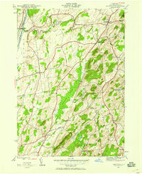
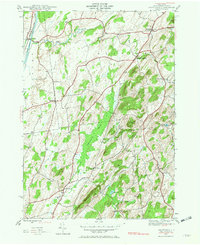
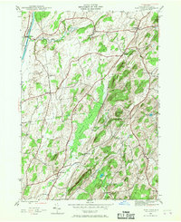
Other maps of this area

1893 · Fort Ann
USGS Topo · 1:62,500

1895 · Cambridge
USGS Topo · 1:62,500

1895 · Fort Ann
USGS Topo · 1:62,500

1895 · Glens Falls
USGS Topo · 1:62,500

1897 · Glens Falls
USGS Topo · 1:62,500

1898 · Cambridge
USGS Topo · 1:62,500

1898 · Fort Ann
USGS Topo · 1:62,500

1900 · Schuylerville
USGS Topo · 1:62,500

1901 · Fort Ann
USGS Topo · 1:62,500

1901 · Cambridge
USGS Topo · 1:62,500