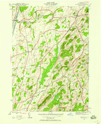
1944 Map of Hartford
USGS Topo · Published 1958About this map
The Champlain Canal and the Delaware and Hudson railroad define the western edge of this 1944 survey, serving as a gateway to the dairy lands and rolling hills of Washington County. Moving east from Smiths Basin, the landscape is dotted with small hamlets like Adamsville and South Hartford, connected by state routes 149 and 196. The central corridor is dominated by the extensive Tamarack Swamp, a significant natural feature that separates the western valley from the more prominent elevations of the east, such as Black Mtn and Todd Mountain.
Find a feature on this map
32 named features on this map. Tap any name to fly to it.
Don’t see what you’re looking for? This feature index may not catch every label — zoom into the map to look around manually.
Map Details
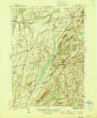
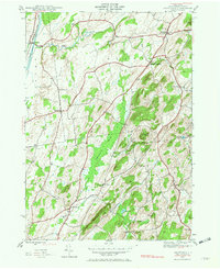
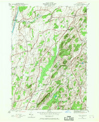
Editions of this 1944 Hartford Map
4 editions found
Other maps of this area

1893 · Fort Ann
USGS Topo · 1:62,500

1895 · Cambridge
USGS Topo · 1:62,500

1895 · Fort Ann
USGS Topo · 1:62,500

1895 · Glens Falls
USGS Topo · 1:62,500

1897 · Glens Falls
USGS Topo · 1:62,500

1898 · Cambridge
USGS Topo · 1:62,500

1898 · Fort Ann
USGS Topo · 1:62,500

1900 · Schuylerville
USGS Topo · 1:62,500

1901 · Fort Ann
USGS Topo · 1:62,500

1901 · Cambridge
USGS Topo · 1:62,500