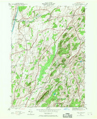
1944 Map of Hartford
USGS Topo · Published 1967About this map
Hudson River and Champlain Canal waters define the western edge of this mid-century landscape, where the Delaware and Hudson railroad tracks parallel the waterway through Smiths Basin. The interior of the quadrangle is a mix of agricultural valleys and prominent heights like Christian Hill and Black Mtn. Small crossroads communities and hamlets are numerous, including Hartford, South Hartford, and Belcher, providing a detailed look at the rural social structure of Washington County. Significant drainage systems like Big Creek and Moses Kill wind through the hills, while the Tamarack Swamp occupies a central basin. Genealogists can find the Adamsville Cem located near the settlement of Adamsville, while surveyors can trace the distinct township lines of Kingsbury, Hartford, Argyle, and Hebron.
Find a feature on this map
26 named features on this map. Tap any name to fly to it.
Don’t see what you’re looking for? This feature index may not catch every label — zoom into the map to look around manually.
Map Details
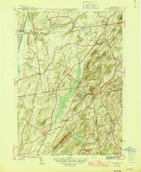
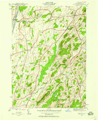
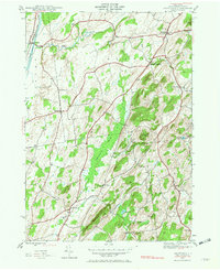
Editions of this 1944 Hartford Map
4 editions found
Other maps of this area

1893 · Fort Ann
USGS Topo · 1:62,500

1895 · Cambridge
USGS Topo · 1:62,500

1895 · Fort Ann
USGS Topo · 1:62,500

1895 · Glens Falls
USGS Topo · 1:62,500

1897 · Glens Falls
USGS Topo · 1:62,500

1898 · Cambridge
USGS Topo · 1:62,500

1898 · Fort Ann
USGS Topo · 1:62,500

1900 · Schuylerville
USGS Topo · 1:62,500

1901 · Fort Ann
USGS Topo · 1:62,500

1901 · Cambridge
USGS Topo · 1:62,500