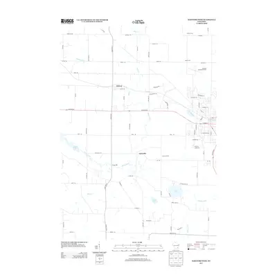
2013 Map of Hartford West
USGS Topo · Published 2013About this map
Rubicon and Saylesville anchor this 2013 geographic study of the Dodge and Washington County borderlands. The landscape is defined by its glacial hydrology, with the Rubicon River winding westward toward the Neosho Millpond and the Ashippun River draining the southeastern corner near Druid Lake. The survey reveals a region transitioning from its traditional agricultural roots—exemplified by established tracts like Sterman Farms and Yoke Crest Farms—toward modern infrastructure and development. This shift is evident in the presence of the Hartford Municipal Airport and the expansion of residential and commercial corridors such as Constitution Ave and Innovation Way on the western edge of Hartford. Small marshy lowlands like Mud Run and Collins Lake persist between these developing areas, offering a clear view of the original terrain before the encroachment of contemporary municipal grids.
Find a feature on this map
75 named features on this map. Tap any name to fly to it.
Don’t see what you’re looking for? This feature index may not catch every label — zoom into the map to look around manually.
Map Details
Editions of this 2013 Hartford West Map
This is the sole edition of this map. No revisions or reprints were ever made.
Other maps of this area

1892 · Watertown
USGS Topo · 1:62,500

1892 · Oconomowoc
USGS Topo · 1:62,500

1894 · Watertown
USGS Topo · 1:62,500

1904 · Hartford
USGS Topo · 1:62,500

1909 · Oconomowoc
USGS Topo · 1:62,500

1955 · Horicon
USGS Topo · 1:62,500

1957 · Madison
USGS Topo · 1:250,000

1959 · Ixonia
USGS Topo · 1:24,000
1959 · Stonebank
USGS Topo · 1:24,000

1959 · Hartford
USGS Topo · 1:62,500