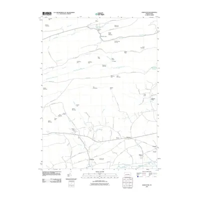
2010 Map of Hartleton
USGS Topo · Published 2010About this map
Hartleton and the southern slopes of the Bald Eagle State Forest region are captured in this study of central Pennsylvania's Ridge-and-Valley province. The landscape is defined by the heavy presence of state-managed lands, including the institutional grounds of Laurelton State Village and the adjacent Laurelton State Village Farms. These sites, along with smaller settlements like Millmont and Swengel, are situated along the fertile corridor of Penns Creek and Laurel Run.
Find a feature on this map
85 named features on this map. Tap any name to fly to it.
Don’t see what you’re looking for? This feature index may not catch every label — zoom into the map to look around manually.
Map Details
Editions of this 2010 Hartleton Map
This is the sole edition of this map. No revisions or reprints were ever made.
Other maps of this area

1921 · Williamsport
USGS Topo · 1:48,000

1921 · Lock Haven
USGS Topo · 1:62,500

1923 · Lock Haven
USGS Topo · 1:62,500

1923 · Williamsport
USGS Topo · 1:62,500

1937 · Millheim
USGS Topo · 1:48,000

1938 · Mifflinburg
USGS Topo · 1:48,000

1941 · Millheim
USGS Topo · 1:62,500

1943 · Mifflinburg
USGS Topo · 1:62,500

1944 · Williamsport
USGS Topo · 1:62,500

1944 · Lock Haven
USGS Topo · 1:62,500