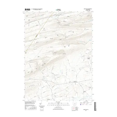
2016 Map of Hartleton
USGS Topo · Published 2016About this map
Buffalo Mtn and a series of high ridges dominate this landscape in western Union County, where the valley floor transitions into the dense forests of the Appalachian heights. The map highlights a concentration of small communities along the southern reaches, including Hartleton, Swengel, and Millmont, which sit near the banks of Penns Creek and its tributaries. This era of land management is characterized by a high density of named trails and forest roads, such as McCall Field Trl and Old Narrows Trail, providing access to the interior terrain of Hough Mtn and Seven Notch Mtn. Notable water features include the Mifflinburg Reservoir and recreational points like Halfway Lake, along with unique natural landmarks such as The Little Bubbler and The Gooseneck. The Hartleton Cem serves as a significant point for genealogical research in this long-settled rural corridor.
Find a feature on this map
108 named features on this map. Tap any name to fly to it.
Don’t see what you’re looking for? This feature index may not catch every label — zoom into the map to look around manually.
Map Details
Editions of this 2016 Hartleton Map
This is the sole edition of this map. No revisions or reprints were ever made.
Other maps of this area

1921 · Williamsport
USGS Topo · 1:48,000

1921 · Lock Haven
USGS Topo · 1:62,500

1923 · Lock Haven
USGS Topo · 1:62,500

1923 · Williamsport
USGS Topo · 1:62,500

1937 · Millheim
USGS Topo · 1:48,000

1938 · Mifflinburg
USGS Topo · 1:48,000

1941 · Millheim
USGS Topo · 1:62,500

1943 · Mifflinburg
USGS Topo · 1:62,500

1944 · Williamsport
USGS Topo · 1:62,500

1944 · Lock Haven
USGS Topo · 1:62,500