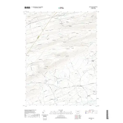
2019 Map of Hartleton
USGS Topo · Published 2019About this map
Hartleton and Swengel anchor the southern corridor of this central Pennsylvania landscape, where the valley floor transitions into the dense ridges of the Bald Eagle State Forest. The terrain is defined by dramatic geological features like Fourteenmile Narrows and The Gooseneck, while the hydrography is marked by unique water sources such as The Little Bubbler and Boiling Spring. The map reveals a complex network of timber and mountain trails, including the Black Gap Trail and Fallen Timber Trail, which navigate the steep elevations of Bake Oven Mtn and Buffalo Mtn. For genealogists, the proximity of Hartleton Cem and Old Cedar Cem to the early settlements along the Old Turnpike Rd offers a clear view of the historic community layout before the modern era, situated just north of Penns Creek.
Find a feature on this map
114 named features on this map. Tap any name to fly to it.
Don’t see what you’re looking for? This feature index may not catch every label — zoom into the map to look around manually.
Map Details
Editions of this 2019 Hartleton Map
This is the sole edition of this map. No revisions or reprints were ever made.
Other maps of this area

1921 · Williamsport
USGS Topo · 1:48,000

1921 · Lock Haven
USGS Topo · 1:62,500

1923 · Lock Haven
USGS Topo · 1:62,500

1923 · Williamsport
USGS Topo · 1:62,500

1937 · Millheim
USGS Topo · 1:48,000

1938 · Mifflinburg
USGS Topo · 1:48,000

1941 · Millheim
USGS Topo · 1:62,500

1943 · Mifflinburg
USGS Topo · 1:62,500

1944 · Williamsport
USGS Topo · 1:62,500

1944 · Lock Haven
USGS Topo · 1:62,500