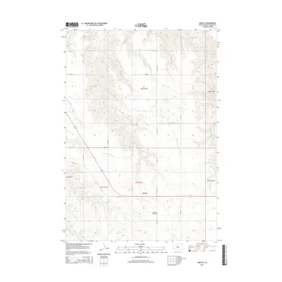
2015 Map of Hartley
USGS Topo · Published 2015About this map
Hartley is the central point of this West River landscape, situated within a topography defined by complex drainage systems and broad draws. The area is dominated by the forks of Spotted Bear Creek, with the W Fork Spotted Bear Cr and E Fork Spotted Bear Cr cutting through the terrain. These waterways, along with Indian Springs Creek, have carved out significant geographic depressions like Haxby Draw, Elm Tree Draw, and Council Bear Draw.
Find a feature on this map
21 named features on this map. Tap any name to fly to it.
Don’t see what you’re looking for? This feature index may not catch every label — zoom into the map to look around manually.
Map Details
Editions of this 2015 Hartley Map
This is the sole edition of this map. No revisions or reprints were ever made.
Other maps of this area

1954 · Pierre
USGS Topo · 1:250,000

1955 · Bridger
USGS Topo · 1:24,000

1955 · Rattlesnake Lake SW
USGS Topo · 1:24,000

1955 · Bridger SE
USGS Topo · 1:24,000

1955 · Hilland NW
USGS Topo · 1:24,000

1958 · Pierre
USGS Topo · 1:250,000

1983 · Post Ranch
USGS Topo · 1:24,000

1983 · Philip
USGS Topo · 1:100,000

1983 · Hilland
USGS Topo · 1:24,000
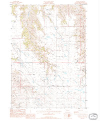
1983 · Hartley
USGS Topo · 1:24,000