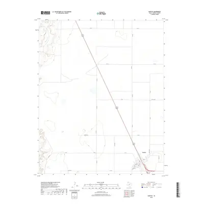
1985 Map of Hartley
USGS Topo · Published 1988About this map
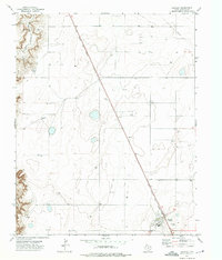
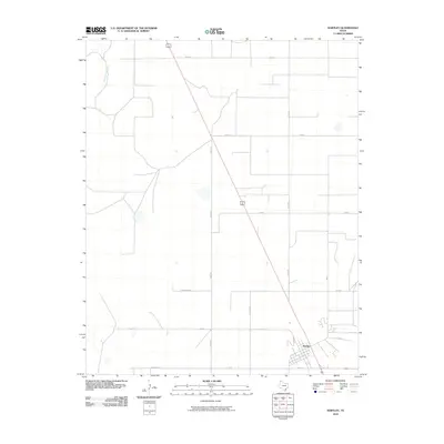
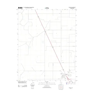
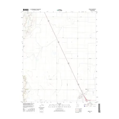
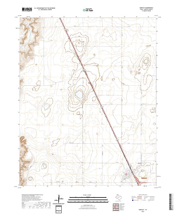
Hartley and Channing anchor the settlement pattern of this mid-1980s High Plains landscape, where the flat upland plains break sharply into the canyon systems of the Canadian River. This transition is most dramatic along the Syndicate Hills and the deeply incised Punta de Agua Creek, which drains toward the historic site of Tascosa. The map captures a ranching and energy landscape, marked by an Oil And Gas Field and various Gravel Pits that support local infrastructure. Transportation is defined by the intersection of the Fort Worth And Denver and Chicago Rock Island and Pacific railroads, which parallel the primary roads connecting smaller sidings like Rehm and Middle Water. The southern portion of the sheet reveals the complex hydrology of the Canadian River valley, featuring numerous springs such as Red Spring and Bull Spring, alongside landmarks like Boys Ranch.
Find a feature on this map
52 named features on this map. Tap any name to fly to it.
Don’t see what you’re looking for? This feature index may not catch every label — zoom into the map to look around manually.
Map Details
Editions of this 1985 Hartley Map
2 editions found
Historical Maps of Hartley Through Time
7 maps found