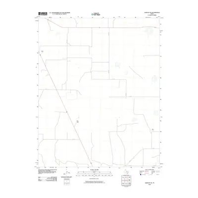
2010 Map of Hartley SE
USGS Topo · Published 2010About this map
Large cattle operations and family-named homesteads define this portion of the Texas Panhandle in the early twenty-first century. The landscape is structured by a rigid grid of local routes, including Snyder Rd, Fords Rd, and Co Rd D, which provide access to the expansive ranching properties that have long anchored the Hartley County economy. Prominent landholdings such as the Beale Queen Ranch and the Bryant Ranch occupy large swaths of this territory, while the Edlin Ranch sits further east, illustrating the enduring scale of agricultural land use in the region.
Find a feature on this map
10 named features on this map. Tap any name to fly to it.
Don’t see what you’re looking for? This feature index may not catch every label — zoom into the map to look around manually.
Map Details
Editions of this 2010 Hartley SE Map
This is the sole edition of this map. No revisions or reprints were ever made.
Other maps of this area

1954 · Tucumcari
USGS Topo · 1:250,000

1958 · Tucumcari
USGS Topo · 1:250,000

1963 · Hartley SE
USGS Topo · 1:24,000

1963 · Hartley NE
USGS Topo · 1:24,000

1963 · Bird Ranch Store
USGS Topo · 1:24,000

1963 · Moran Ranch
USGS Topo · 1:24,000

1971 · Bivins Channing Ranch
USGS Topo · 1:24,000

1971 · Channing NW
USGS Topo · 1:24,000
1971 · Channing
USGS Topo · 1:24,000

1972 · Hartley SW
USGS Topo · 1:24,000