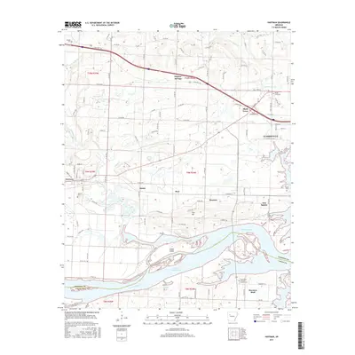
2017 Map of Hartman
USGS Topo · Published 2017About this map
Lake Dardanelle and the Arkansas River dominate the southern landscape of this survey, where the river channel winds past Skaggs Island and marks the boundary between Johnson and Logan Counties. To the north, the terrain transitions from the river bottomlands toward the elevations of Tick Hill, with the towns of Hartman, Hinkle, and Hoyt situated along the drainage of Horsehead Creek. This area illustrates a classic Arkansas River Valley settlement pattern, where small communities like Montana and New Spadra are linked by rural routes such as State Hwy 352.
Find a feature on this map
48 named features on this map. Tap any name to fly to it.
Don’t see what you’re looking for? This feature index may not catch every label — zoom into the map to look around manually.
Map Details
Editions of this 2017 Hartman Map
This is the sole edition of this map. No revisions or reprints were ever made.
Other maps of this area

1887 · Magazine Mountain #1
USGS Topo · 1:62,500

1887 · Magazine Mountain
USGS Topo · 1:62,500

1888 · Dardanelle #2
USGS Topo · 1:62,500

1889 · Ozone
USGS Topo · 1:62,500

1890 · Magazine Mountain
USGS Topo · 1:125,000

1890 · Dardanelle
USGS Topo · 1:125,000

1906 · Batson
USGS Topo · 1:62,500

1934 · Ozone
USGS Topo · 1:62,500

1936 · Ozone
USGS Topo · 1:62,500

1956 · Russellville
USGS Topo · 1:250,000