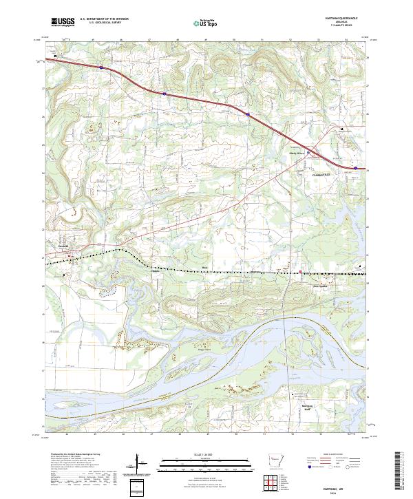
2024 Map of Hartman
USGS Topo · Published 2024About this map
Hartman sits at the center of a varied landscape where the northern uplands transition into the broad floodplains of the Arkansas River. This modern survey illustrates the proximity of several small communities, including Hinkle, Hoyt, and Montana, which are linked by an intricate network of county roads like Wire Rd and State Hwy 352. To the south, the river expands into Lake Dardanelle, a prominent feature that defines the boundary between Johnson and Logan counties. This area is home to numerous historical burial grounds, such as Kendall Cem, Spadra Cem, and the Saint Peter and Paul Catholic Cem near Morrison Bluff. The map also captures the varied drainage patterns of the region, from the winding Horsehead Creek to the southern Sixmile Creek, illustrating how these waterways have historically influenced the settlement patterns and road placements around Clarksville and New Spadra.
Find a feature on this map
117 named features on this map. Tap any name to fly to it.
Don’t see what you’re looking for? This feature index may not catch every label — zoom into the map to look around manually.
Map Details
Editions of this 2024 Hartman Map
This is the sole edition of this map. No revisions or reprints were ever made.
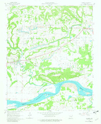
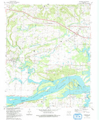
Historical Maps of Shady Grove Through Time
3 maps found