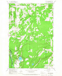
1959 Map of Harts Lake
USGS Topo · Published 1967About this map
The Fort Lewis Military Reservation occupies the northern reach of this landscape, where the prairie transitions into the drainage systems of Lacamas Creek and Horn Creek. In the late 1950s, this area of Pierce County was defined by a network of rural roads such as McKenna Road and Harts Lake Loop Road, connecting dispersed homesteads and community hubs like the Lacamas Sch and the Grange Hall. The southern portion of the map centers on the water bodies of Harts Lake, Little Lake, and Tule Lake, which are bordered by the Nisqually River to the west. A notable industrial feature is the Centralia Canal and the associated Centralia Dam, reflecting the mid-century infrastructure managing the river's flow. Topographical details such as Hawk Hill and several drainage sloughs, including Rocky Slough, illustrate the varied terrain between the military lands and the fertile river valley.
Find a feature on this map
40 named features on this map. Tap any name to fly to it.
Don’t see what you’re looking for? This feature index may not catch every label — zoom into the map to look around manually.
Map Details
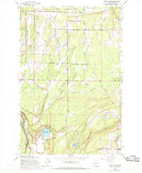
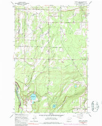
Editions of this 1959 Harts Lake Map
3 editions found
Other maps of this area

1897 · Tacoma
USGS Topo · 1:125,000

1900 · Tacoma
USGS Topo · 1:125,000

1916 · Chehalis
USGS Topo · 1:125,000

1937 · Eatonville
USGS Topo · 1:125,000

1940 · Anderson Island
USGS Topo · 1:62,500

1941 · Tanwax Lake
USGS Topo · 1:62,500

1941 · Tacoma South
USGS Topo · 1:62,500

1944 · Tacoma South
USGS Topo · 1:62,500

1944 · Yelm
USGS Topo · 1:62,500

1944 · Ohop Valley
USGS Topo · 1:62,500