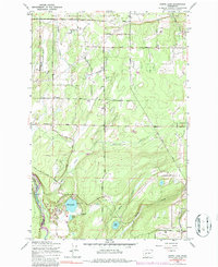
1959 Map of Harts Lake
USGS Topo · Published 1986About this map
The Fort Lewis Military Reservation dominates the northern landscape of this 1950s survey, illustrating the significant military footprint in Pierce County during the mid-century era. Just south of the reservation line, rural life centers around the Lacamas Sch and the community of Troy, with family-named routes like Roy Christy Road and Allen Road threading through the timber and wetlands. The drainage pattern is defined by the winding Lacamas Creek and Horn Creek, which feed toward the Nisqually River on the western edge of the sheet.
Find a feature on this map
25 named features on this map. Tap any name to fly to it.
Don’t see what you’re looking for? This feature index may not catch every label — zoom into the map to look around manually.
Map Details
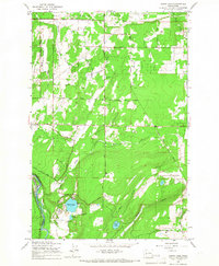
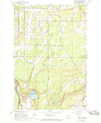
Editions of this 1959 Harts Lake Map
3 editions found
Other maps of this area

1897 · Tacoma
USGS Topo · 1:125,000

1900 · Tacoma
USGS Topo · 1:125,000

1916 · Chehalis
USGS Topo · 1:125,000

1937 · Eatonville
USGS Topo · 1:125,000

1940 · Anderson Island
USGS Topo · 1:62,500

1941 · Tanwax Lake
USGS Topo · 1:62,500

1941 · Tacoma South
USGS Topo · 1:62,500

1944 · Tacoma South
USGS Topo · 1:62,500

1944 · Yelm
USGS Topo · 1:62,500

1944 · Ohop Valley
USGS Topo · 1:62,500