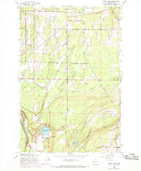
1959 Map of Harts Lake
USGS Topo · Published 1969About this map
The Fort Lewis Military Reservation dominates the northern landscape of this Pierce County quadrangle, where a network of rural roads like Pettit Road and Hawk Road trace the boundaries of military and civilian land. To the south, the terrain is defined by the winding course of the Nisqually River and the industrial presence of the Centralia Dam. The area is characterized by a high density of wetlands and small water bodies, including Harts Lake, Little Lake, and Tule Lake, which are interconnected by a system of drainage including Horn Creek and Rocky Slough.
Find a feature on this map
31 named features on this map. Tap any name to fly to it.
Don’t see what you’re looking for? This feature index may not catch every label — zoom into the map to look around manually.
Map Details
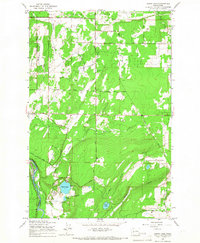
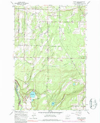
Editions of this 1959 Harts Lake Map
3 editions found
Other maps of this area

1897 · Tacoma
USGS Topo · 1:125,000

1900 · Tacoma
USGS Topo · 1:125,000

1916 · Chehalis
USGS Topo · 1:125,000

1937 · Eatonville
USGS Topo · 1:125,000

1940 · Anderson Island
USGS Topo · 1:62,500

1941 · Tanwax Lake
USGS Topo · 1:62,500

1941 · Tacoma South
USGS Topo · 1:62,500

1944 · Tacoma South
USGS Topo · 1:62,500

1944 · Yelm
USGS Topo · 1:62,500

1944 · Ohop Valley
USGS Topo · 1:62,500