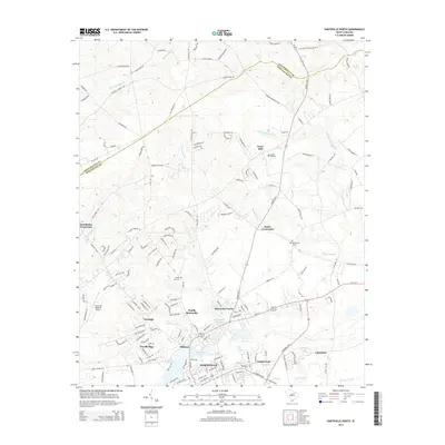
2014 Map of Hartsville North
USGS Topo · Published 2014About this map
Hartsville and its northern suburbs are characterized by a transition from established neighborhoods and academic institutions to the rural crossroads of the Chesterfield Co and Darlington Co border. The landscape is defined by the significant hydrological system of Black Cr, which feeds into Prestwood Lake and is supported by tributaries like Spring Br and Horsepen Br. Near the heart of the city, Coker Coll stands as a local landmark, while the Old Kilgore Millpond and Lake Anthony suggest the importance of water management and recreation in the area's development.
Find a feature on this map
158 named features on this map. Tap any name to fly to it.
Don’t see what you’re looking for? This feature index may not catch every label — zoom into the map to look around manually.
Map Details
Editions of this 2014 Hartsville North Map
This is the sole edition of this map. No revisions or reprints were ever made.
Other maps of this area

1941 · Spartanburg
USGS Topo · 1:250,000

1942 · Rockingham
USGS Topo · 1:125,000

1953 · Florence
USGS Topo · 1:250,000

1953 · Spartanburg
USGS Topo · 1:250,000

1954 · Florence
USGS Topo · 1:250,000

1960 · Spartanburg
USGS Topo · 1:250,000

1963 · Spartanburg
USGS Topo · 1:250,000

1963 · Dovesville
USGS Topo · 1:24,000

1963 · Darlington West
USGS Topo · 1:24,000

1964 · Spartanburg
USGS Topo · 1:250,000