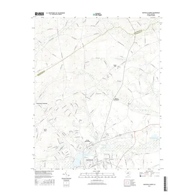
2017 Map of Hartsville North
USGS Topo · Published 2017About this map
Hartsville and its northern suburbs are defined by a complex network of wetlands and creek branches that drain toward the Black Creek corridor. The city's northern expansion is anchored by Coker Coll and North Hartsville, where residential development meets the edges of Prestwood Lake and Lake Anthony. This map reveals the transition from the concentrated urban streets of the south to the rural crossroads of the north, where small farming hubs like Hunts Crossroads and Granthams Crossroads maintain their identity at significant road junctions.
Find a feature on this map
146 named features on this map. Tap any name to fly to it.
Don’t see what you’re looking for? This feature index may not catch every label — zoom into the map to look around manually.
Map Details
Editions of this 2017 Hartsville North Map
This is the sole edition of this map. No revisions or reprints were ever made.
Other maps of this area

1941 · Spartanburg
USGS Topo · 1:250,000

1942 · Rockingham
USGS Topo · 1:125,000

1953 · Florence
USGS Topo · 1:250,000

1953 · Spartanburg
USGS Topo · 1:250,000

1954 · Florence
USGS Topo · 1:250,000

1960 · Spartanburg
USGS Topo · 1:250,000

1963 · Spartanburg
USGS Topo · 1:250,000

1963 · Dovesville
USGS Topo · 1:24,000

1963 · Darlington West
USGS Topo · 1:24,000

1964 · Spartanburg
USGS Topo · 1:250,000