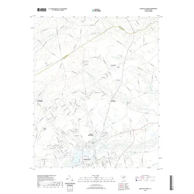
2020 Map of Hartsville North
USGS Topo · Published 2020About this map
Hartsville and its northern suburbs define this landscape at the edge of the Sandhills, where the urban street grid meets the winding creek beds of the Pee Dee region. The presence of Coker College and the Hartsville Regional Airport highlights the city's role as a regional educational and transportation hub. The surrounding terrain is defined by the complex hydrography of Black Creek, which flows into Prestwood Lake and the Old Kilgore Millpond. This network of waterways, including Spring Branch and Snake Branch, historically shaped the local industry and settlement patterns.
Find a feature on this map
155 named features on this map. Tap any name to fly to it.
Don’t see what you’re looking for? This feature index may not catch every label — zoom into the map to look around manually.
Map Details
Editions of this 2020 Hartsville North Map
This is the sole edition of this map. No revisions or reprints were ever made.
Other maps of this area

1941 · Spartanburg
USGS Topo · 1:250,000

1942 · Rockingham
USGS Topo · 1:125,000

1953 · Florence
USGS Topo · 1:250,000

1953 · Spartanburg
USGS Topo · 1:250,000

1954 · Florence
USGS Topo · 1:250,000

1960 · Spartanburg
USGS Topo · 1:250,000

1963 · Spartanburg
USGS Topo · 1:250,000

1963 · Dovesville
USGS Topo · 1:24,000

1963 · Darlington West
USGS Topo · 1:24,000

1964 · Spartanburg
USGS Topo · 1:250,000