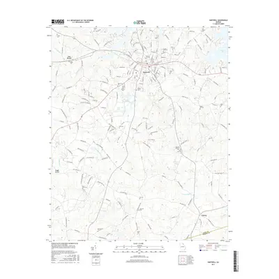
2017 Map of Hartwell
USGS Topo · Published 2017About this map
Hartwell serves as the focal point of this northeast Georgia landscape, situated just west of the sprawling waters of Hartwell Lake. The town is surrounded by a dense network of country roads and ancestral sites, including Cedar Springs Cem and the central Hart Memorial Park. The terrain is defined by the drainage basins of Cedar Cr and Little Cedar Cr, which move through a landscape dotted with small communities like Flat Shoals and Nuberg.
Find a feature on this map
172 named features on this map. Tap any name to fly to it.
Don’t see what you’re looking for? This feature index may not catch every label — zoom into the map to look around manually.
Map Details
Editions of this 2017 Hartwell Map
This is the sole edition of this map. No revisions or reprints were ever made.
Other maps of this area

1891 · Carnesville
USGS Topo · 1:125,000

1893 · Elberton
USGS Topo · 1:125,000

1954 · Greenville
USGS Topo · 1:250,000

1958 · Greenville
USGS Topo · 1:250,000

1958 · Danielsville
USGS Topo · 1:62,500

1958 · Elberton
USGS Topo · 1:62,500

1959 · Hartwell Dam
USGS Topo · 1:24,000

1959 · Lavonia
USGS Topo · 1:24,000

1959 · Hartwell NE
USGS Topo · 1:24,000

1959 · Royston
USGS Topo · 1:24,000