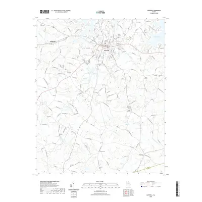
2020 Map of Hartwell
USGS Topo · Published 2020About this map
The Hart County Courthouse serves as the central hub of Hartwell, where the street grid gives way to a sprawling network of rural roads and water bodies. This area of Georgia is defined by the extensive reach of Hartwell Lake, which creates a complex shoreline along the northeast. To the west and south, the landscape is dotted with ancestral landmarks, including Saint Johns Cem, Zion Cem, and Shiloh Cem. The inclusion of the Hartwell Mica Mine Lake points to the region's industrial history, while the unique Center of the World Rd marks a distinctive local landmark.
Find a feature on this map
183 named features on this map. Tap any name to fly to it.
Don’t see what you’re looking for? This feature index may not catch every label — zoom into the map to look around manually.
Map Details
Editions of this 2020 Hartwell Map
This is the sole edition of this map. No revisions or reprints were ever made.
Other maps of this area

1891 · Carnesville
USGS Topo · 1:125,000

1893 · Elberton
USGS Topo · 1:125,000

1954 · Greenville
USGS Topo · 1:250,000

1958 · Greenville
USGS Topo · 1:250,000

1958 · Danielsville
USGS Topo · 1:62,500

1958 · Elberton
USGS Topo · 1:62,500

1959 · Hartwell Dam
USGS Topo · 1:24,000

1959 · Lavonia
USGS Topo · 1:24,000

1959 · Hartwell NE
USGS Topo · 1:24,000

1959 · Royston
USGS Topo · 1:24,000