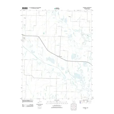
2011 Map of Hartwell
USGS Topo · Published 2011About this map
South Grand River and Big Creek converge in this western Henry County landscape, where the small agricultural centers of Urich and Hartwell anchor the local road network. The terrain is defined by a complex system of drainage, with Willow Branch, Ford Branch, and Honey Creek feeding into the larger river valley. These waterways historically dictated the placement of early settlements and rural infrastructure, visible here in the distribution of family-centered landmarks.
Find a feature on this map
57 named features on this map. Tap any name to fly to it.
Don’t see what you’re looking for? This feature index may not catch every label — zoom into the map to look around manually.
Map Details
Editions of this 2011 Hartwell Map
This is the sole edition of this map. No revisions or reprints were ever made.
Other maps of this area

1885 · Warrensburg
USGS Topo · 1:125,000

1887 · Clinton
USGS Topo · 1:125,000

1887 · Harrisonville
USGS Topo · 1:125,000

1887 · Butler
USGS Topo · 1:125,000

1887 · Warrensburg
USGS Topo · 1:125,000

1892 · Harrisonville
USGS Topo · 1:125,000

1894 · Harrisonville
USGS Topo · 1:125,000

1894 · Butler
USGS Topo · 1:125,000

1894 · Warrensburg
USGS Topo · 1:125,000

1894 · Clinton
USGS Topo · 1:125,000