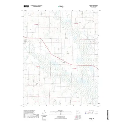
2017 Map of Hartwell
USGS Topo · Published 2017About this map
Urich stands at the western edge of this Henry County landscape, where the local road network bridges the transition from prairie uplands to the river bottoms. The course of the South Grand River and Big Creek dictates the geography here, creating a wide floodplain of wetlands and seasonal drainages such as Willow Br and Holwell Br. Small crossroads settlements like Hartwell and Maurine remain centered around key intersections, serving as focal points for the surrounding agricultural community.
Find a feature on this map
67 named features on this map. Tap any name to fly to it.
Don’t see what you’re looking for? This feature index may not catch every label — zoom into the map to look around manually.
Map Details
Editions of this 2017 Hartwell Map
This is the sole edition of this map. No revisions or reprints were ever made.
Other maps of this area

1885 · Warrensburg
USGS Topo · 1:125,000

1887 · Clinton
USGS Topo · 1:125,000

1887 · Harrisonville
USGS Topo · 1:125,000

1887 · Butler
USGS Topo · 1:125,000

1887 · Warrensburg
USGS Topo · 1:125,000

1892 · Harrisonville
USGS Topo · 1:125,000

1894 · Harrisonville
USGS Topo · 1:125,000

1894 · Butler
USGS Topo · 1:125,000

1894 · Warrensburg
USGS Topo · 1:125,000

1894 · Clinton
USGS Topo · 1:125,000