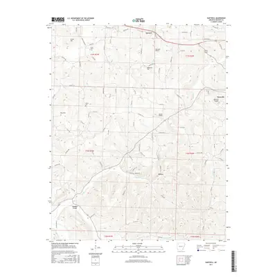
2017 Map of Hartwell
USGS Topo · Published 2017About this map
Bohannan Mtn and Keefer Mtn anchor this Madison County landscape, where the Ozark terrain is defined by a dense network of creek valleys and ridges. Small settlements like Hartwell and Roxton are connected by a web of county roads that follow the natural topography, such as Farmer School Rd leading toward Farmer Cem. To the east, the edge of Huntsville begins to appear, marked by the Huntsville Municipal Airport.
Find a feature on this map
90 named features on this map. Tap any name to fly to it.
Don’t see what you’re looking for? This feature index may not catch every label — zoom into the map to look around manually.
Map Details
Editions of this 2017 Hartwell Map
This is the sole edition of this map. No revisions or reprints were ever made.
Other maps of this area

1900 · Eureka Springs
USGS Topo · 1:125,000

1901 · Eureka Springs
USGS Topo · 1:125,000

1943 · St. Paul
USGS Topo · 1:62,500

1945 · Harrison
USGS Topo · 1:250,000

1946 · St. Paul
USGS Topo · 1:62,500

1949 · Harrison
USGS Topo · 1:250,000

1954 · Harrison
USGS Topo · 1:250,000

1956 · Russellville
USGS Topo · 1:250,000
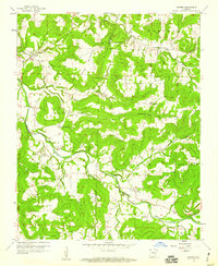
1958 · Goshen
USGS Topo · 1:24,000
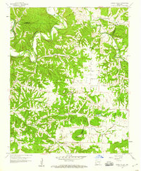
1958 · Spring Valley
USGS Topo · 1:24,000