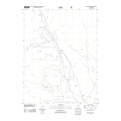
2011 Map of Harvard Lakes
USGS Topo · Published 2011About this map
The Arkansas River forms the central corridor of this Chaffee County landscape, where early 21st-century topography meets a long history of mountain settlement. Small communities such as Riverside, Americus, and Princeton line the river valley, serving as anchors for the local road network that includes County Rd 371 and the Riverside Ditch irrigation system. The presence of the Little Annie Mine near Fourmile Creek and rural institutions like the Pine Creek School and Berrian School highlights the transition from extractive industry to more established community life.
Find a feature on this map
43 named features on this map. Tap any name to fly to it.
Don’t see what you’re looking for? This feature index may not catch every label — zoom into the map to look around manually.
Map Details
Editions of this 2011 Harvard Lakes Map
This is the sole edition of this map. No revisions or reprints were ever made.
Other maps of this area

1889 · Leadville
USGS Topo · 1:125,000

1891 · Leadville
USGS Topo · 1:125,000

1935 · Mount Elbert
USGS Topo · 1:62,500

1938 · Mount Elbert
USGS Topo · 1:62,500

1939 · Mount Elbert
USGS Topo · 1:62,500

1942 · Leadville
USGS Topo · 1:125,000

1955 · Buena Vista
USGS Topo · 1:62,500

1955 · Mount Harvard
USGS Topo · 1:62,500

1956 · Montrose
USGS Topo · 1:250,000

1957 · Leadville
USGS Topo · 1:250,000