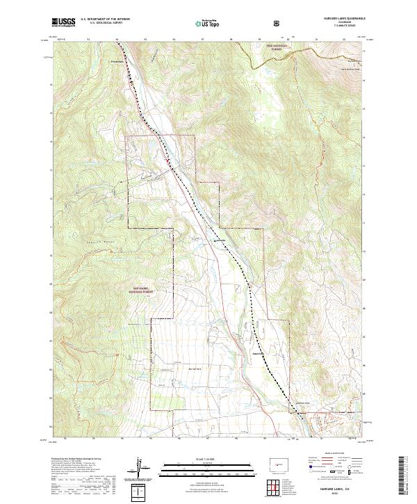
2022 Map of Harvard Lakes
USGS Topo · Published 2022About this map
The Arkansas River corridor serves as the central artery for this portion of the Sawatch Range, where small settlements like Princeton, Riverside, and Americus are positioned along the riverbank. The landscape is defined by the sharp transition from the valley floor to the high alpine peaks, including the eastern Buffalo Peaks and the high-elevation Harvard Lakes. Significant water management infrastructure is evident through the Riverside Ditch and Three Elk Reservoir, which support the lower-lying areas like Berrian Park. A network of backcountry routes, such as the Colorado Trl and Frenchman Creek Trl, illustrates the region's character as a crossroads for both historical travel and modern recreation between the San Isabel National Forest and Pike National Forest.
Find a feature on this map
68 named features on this map. Tap any name to fly to it.
Don’t see what you’re looking for? This feature index may not catch every label — zoom into the map to look around manually.
Map Details
Editions of this 2022 Harvard Lakes Map
This is the sole edition of this map. No revisions or reprints were ever made.
Other maps of this area

1889 · Leadville
USGS Topo · 1:125,000

1891 · Leadville
USGS Topo · 1:125,000

1935 · Mount Elbert
USGS Topo · 1:62,500

1938 · Mount Elbert
USGS Topo · 1:62,500

1939 · Mount Elbert
USGS Topo · 1:62,500

1942 · Leadville
USGS Topo · 1:125,000

1955 · Buena Vista
USGS Topo · 1:62,500

1955 · Mount Harvard
USGS Topo · 1:62,500

1956 · Montrose
USGS Topo · 1:250,000

1957 · Leadville
USGS Topo · 1:250,000