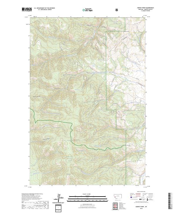
2024 Map of Harvey Point
USGS Topo · Published 2024About this map
Harvey Point rises as a prominent landmark in this corner of the Sapphire Mountains, where the high country of Granite County meets the administrative boundaries of the Lolo National Forest and Deerlodge National Forest. The landscape is defined by a series of significant high-altitude ridges, including Harvey Ridge and Jenkins Ridge, which separate deep drainages such as Eureka Gulch and Sonora Gulch. These rugged slopes are dotted with vital water sources for local wildlife and early travelers, notably Barton Spring, Miller Spring, and Horsethief Spring. To the south, the terrain culminates at Silver King Mtn, overlooking a network of mountain roads like McLean Creek Rd that provide access into the John Long Mountains and the headwaters of West Fork Lower Willow Creek.
Find a feature on this map
43 named features on this map. Tap any name to fly to it.
Don’t see what you’re looking for? This feature index may not catch every label — zoom into the map to look around manually.
Map Details
Editions of this 2024 Harvey Point Map
This is the sole edition of this map. No revisions or reprints were ever made.
Other maps of this area

1903 · Bonner
USGS Topo · 1:125,000

1908 · Philipsburg
USGS Topo · 1:125,000

1909 · Sapphire
USGS Topo · 1:125,000

1919 · Drummond
USGS Topo · 1:125,000

1921 · Drummond
USGS Topo · 1:125,000

1947 · Butte
USGS Topo · 1:250,000

1958 · Butte
USGS Topo · 1:250,000

1959 · Bearmouth
USGS Topo · 1:62,500

1959 · Ravenna
USGS Topo · 1:62,500

1960 · Butte
USGS Topo · 1:250,000