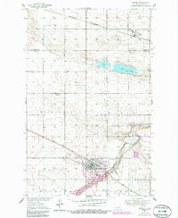
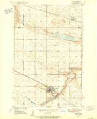
1951 Map of Harvey
USGS Topo · Published 1986About this map
Harvey sits at the heart of this central North Dakota landscape, showing the town's development along the Soo Line railroad during the mid-20th century. The settlement pattern is defined by the intersection of rail transport and rural education, with Hillsdale Sch No 31 serving the surrounding agricultural townships of Hillsdale and Truman. To the north, the small community of Selz and the Northern rail line mark the prairie horizon, while the waters of Goose Lake and the Harvey Dam SWMA provide a distinct contrast to the gridded section lines.
Find a feature on this map
24 named features on this map. Tap any name to fly to it.
Don’t see what you’re looking for? This feature index may not catch every label — zoom into the map to look around manually.
Map Details
Editions of this 1951 Harvey Map
2 editions found
Other maps of this area

1940 · Aylmer
USGS Topo · 1:62,500

1941 · Selz
USGS Topo · 1:62,500

1945 · Manfred
USGS Topo · 1:62,500

1946 · Sheyenne Lake
USGS Topo · 1:48,000

1947 · Sheyenne Lake
USGS Topo · 1:62,500

1948 · Manfred
USGS Topo · 1:62,500

1950 · Wellsburg
USGS Topo · 1:24,000

1950 · Manfred NW
USGS Topo · 1:24,000

1950 · Sheyenne Lake NE
USGS Topo · 1:24,000

1950 · Manfred
USGS Topo · 1:24,000