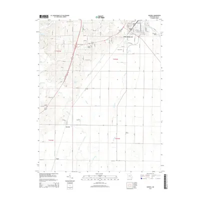
2015 Map of Harviell
USGS Topo · Published 2015About this map
The Poplar Bluff area south into the Missouri Bootheel country is defined by a transition from the elevated neighborhoods of Vinegar Hill and Kelly Town to the low-lying wetlands of the Mississippi Embayment. The landscape is a network of drainage infrastructure designed to manage the flat terrain, featuring the Craven Ditch, Harviell Ditch, and the winding Pike Slough. These watercourses parallel the primary north-south transit corridor, where the W Outer Rd and E Outer Rd flank the main highway through the settlement of Harviell.
Find a feature on this map
119 named features on this map. Tap any name to fly to it.
Don’t see what you’re looking for? This feature index may not catch every label — zoom into the map to look around manually.
Map Details
Editions of this 2015 Harviell Map
This is the sole edition of this map. No revisions or reprints were ever made.
Other maps of this area

1934 · Williamsville
USGS Topo · 1:48,000

1935 · Poplar Bluff
USGS Topo · 1:62,500

1935 · Acorn
USGS Topo · 1:62,500

1935 · Harviell
USGS Topo · 1:62,500

1939 · Poplar Bluff
USGS Topo · 1:62,500

1940 · Williamsville
USGS Topo · 1:62,500

1940 · Naylor
USGS Topo · 1:62,500

1944 · Naylor
USGS Topo · 1:62,500

1949 · Poplar Bluff
USGS Topo · 1:62,500

1957 · Poplar Bluff
USGS Topo · 1:250,000