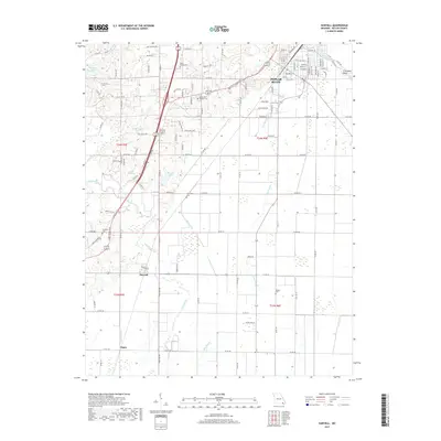
2017 Map of Harviell
USGS Topo · Published 2017About this map
Poplar Bluff anchor the northeastern corner of this landscape, where the Black River bends at Freemans Bend. The southern half of the map transitions into a low-lying network of water management features, including the Harviell Ditch and Craven Ditch, which redirect water away from settlements like Harviell and Angus. This drainage infrastructure, combined with numerous named sloughs, illustrates the historical challenge of managing the wet bottomlands for agriculture and habitation.
Find a feature on this map
122 named features on this map. Tap any name to fly to it.
Don’t see what you’re looking for? This feature index may not catch every label — zoom into the map to look around manually.
Map Details
Editions of this 2017 Harviell Map
This is the sole edition of this map. No revisions or reprints were ever made.
Other maps of this area

1934 · Williamsville
USGS Topo · 1:48,000

1935 · Poplar Bluff
USGS Topo · 1:62,500

1935 · Acorn
USGS Topo · 1:62,500

1935 · Harviell
USGS Topo · 1:62,500

1939 · Poplar Bluff
USGS Topo · 1:62,500

1940 · Williamsville
USGS Topo · 1:62,500

1940 · Naylor
USGS Topo · 1:62,500

1944 · Naylor
USGS Topo · 1:62,500

1949 · Poplar Bluff
USGS Topo · 1:62,500

1957 · Poplar Bluff
USGS Topo · 1:250,000