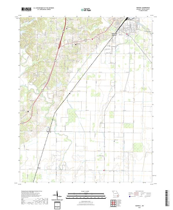
2021 Map of Harviell
USGS Topo · Published 2021About this map
Poplar Bluff anchor this landscape, where the southern edge of the city gives way to the drainage systems of the upper Mississippi Embayment. The transition from urban streets like W Victor St and Ashcroft Rd to the agricultural lowlands is marked by a complex network of water management, including Craven Ditch, Harviell Ditch, and the winding Pike Slough. These waterways are critical to the low-lying terrain south of Harviell and Angus, where the land is punctuated by family and community landmarks such as Black Creek Creek Cem, Friendship Cem, and Dunning Cem. The Union Pacific RR corridor and S Westwood Blvd serve as the primary north-south arteries, paralleling the older path of the Old Chisolm Trl. This area reflects a long history of managing the wetlands of the Black River basin for transit and agriculture.
Find a feature on this map
47 named features on this map. Tap any name to fly to it.
Don’t see what you’re looking for? This feature index may not catch every label — zoom into the map to look around manually.
Map Details
Editions of this 2021 Harviell Map
This is the sole edition of this map. No revisions or reprints were ever made.
Other maps of this area

1934 · Williamsville
USGS Topo · 1:48,000

1935 · Poplar Bluff
USGS Topo · 1:62,500

1935 · Acorn
USGS Topo · 1:62,500

1935 · Harviell
USGS Topo · 1:62,500

1939 · Poplar Bluff
USGS Topo · 1:62,500

1940 · Williamsville
USGS Topo · 1:62,500

1940 · Naylor
USGS Topo · 1:62,500

1944 · Naylor
USGS Topo · 1:62,500

1949 · Poplar Bluff
USGS Topo · 1:62,500

1957 · Poplar Bluff
USGS Topo · 1:250,000