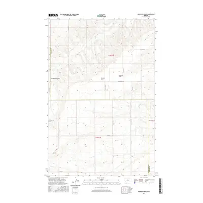
2017 Map of Harwood Bench
USGS Topo · Published 2017About this map
Harwood Bench rises above the surrounding plains of central Montana, defining the landscape where Judith Basin and Fergus counties meet. This high, flat-topped landform is dissected by deep drainage systems, most notably Scotchman Coulee and the extensive Big Sagebrush Coulee. The terrain transitions from these broad benches into more complex breaks characterized by the Indian Buttes in the southwest quadrant.
Find a feature on this map
21 named features on this map. Tap any name to fly to it.
Don’t see what you’re looking for? This feature index may not catch every label — zoom into the map to look around manually.
Map Details
Editions of this 2017 Harwood Bench Map
This is the sole edition of this map. No revisions or reprints were ever made.
Other maps of this area

1954 · Lewistown
USGS Topo · 1:250,000

1959 · Lewistown
USGS Topo · 1:250,000

1970 · Harwood Bench
USGS Topo · 1:24,000

1970 · Danvers
USGS Topo · 1:24,000
1970 · Moccasin
USGS Topo · 1:24,000
1970 · Kolin
USGS Topo · 1:24,000
1970 · Ross Fork
USGS Topo · 1:24,000
1970 · Big Spring
USGS Topo · 1:24,000

1978 · Toney Bench
USGS Topo · 1:24,000
1978 · Hoosac
USGS Topo · 1:24,000