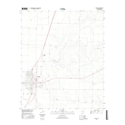
2016 Map of Haskell
USGS Topo · Published 2016About this map
Haskell serves as the central hub of this West Texas landscape, showing a dense grid of streets including N Ave A and S Ave B E that define the community's residential and commercial core. The town is situated within a network of drainage systems, most notably Rice Springs Br and the winding Buffalo Cr that flows southeast toward the county interior. To the west of the main settlement lies Willow Cem, a significant site for genealogical research in this region of the Rolling Plains.
Find a feature on this map
76 named features on this map. Tap any name to fly to it.
Don’t see what you’re looking for? This feature index may not catch every label — zoom into the map to look around manually.
Map Details
Editions of this 2016 Haskell Map
This is the sole edition of this map. No revisions or reprints were ever made.
Other maps of this area

1954 · Wichita Falls
USGS Topo · 1:250,000

1958 · Wichita Falls
USGS Topo · 1:250,000

1966 · Haskell
USGS Topo · 1:24,000
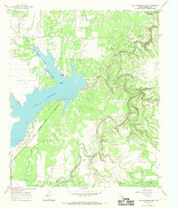
1966 · Lake Stamford East
USGS Topo · 1:24,000
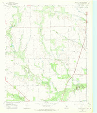
1966 · Dudleys Creek
USGS Topo · 1:24,000
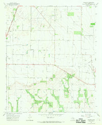
1966 · Pinkerton
USGS Topo · 1:24,000
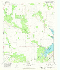
1966 · Lake Stamford West
USGS Topo · 1:24,000
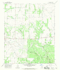
1966 · Irby
USGS Topo · 1:24,000

1967 · Rochester
USGS Topo · 1:24,000

1967 · Weinert
USGS Topo · 1:24,000