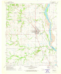
1971 Map of Haskell
USGS Topo · Published 1973About this map
The town of Haskell serves as the central hub of this Muskogee County landscape, situated where the Texas and Pacific railroad intersects a network of local roads and watercourses. The territory transitions from the rolling uplands of Stone Bluff down to the fertile Choska Bottom along the Arkansas River. The distribution of oil wells across the quadrangle reflects the region's mid-century petroleum economy, while the presence of the F and L Airfield northeast of town speaks to the area's civil aviation history during this era.
Find a feature on this map
35 named features on this map. Tap any name to fly to it.
Don’t see what you’re looking for? This feature index may not catch every label — zoom into the map to look around manually.
Map Details
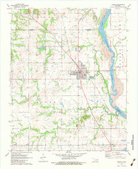
Editions of this 1971 Haskell Map
2 editions found
Other maps of this area

1896 · Okmulgee
USGS Topo · 1:125,000

1900 · Okmulgee
USGS Topo · 1:125,000

1946 · Fort Smith
USGS Topo · 1:250,000

1957 · Leonard
USGS Topo · 1:24,000
1963 · Red Bird
USGS Topo · 1:24,000
1963 · Coweta
USGS Topo · 1:24,000

1965 · Fort Smith
USGS Topo · 1:250,000

1967 · Fort Smith
USGS Topo · 1:250,000
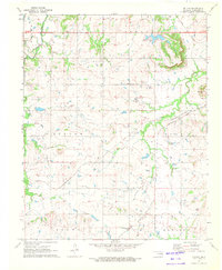
1971 · Beland
USGS Topo · 1:24,000
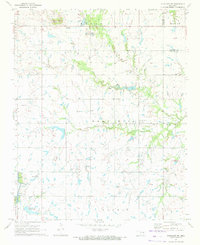
1971 · Okmulgee NE
USGS Topo · 1:24,000