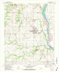
1971 Map of Haskell
USGS Topo · Published 1983About this map
The Arkansas River serves as a primary boundary in this corner of Muskogee County, winding past the Choska Bottoms and several low-lying creeks. The town of Haskell sits at the intersection of local commerce and transport, defined by the route of the Texas and Pacific railroad and a grid of rural infrastructure. Scattered oil wells across the northern landscape point to the region's energy production history, while the presence of numerous family and community burial grounds, such as Mt Zion Cem and Phyllis Cem, provides significant value for genealogical research.
Find a feature on this map
32 named features on this map. Tap any name to fly to it.
Don’t see what you’re looking for? This feature index may not catch every label — zoom into the map to look around manually.
Map Details
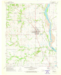
Editions of this 1971 Haskell Map
2 editions found
Other maps of this area

1896 · Okmulgee
USGS Topo · 1:125,000

1900 · Okmulgee
USGS Topo · 1:125,000

1946 · Fort Smith
USGS Topo · 1:250,000

1957 · Leonard
USGS Topo · 1:24,000
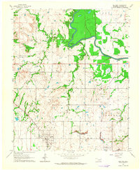
1963 · Red Bird
USGS Topo · 1:24,000
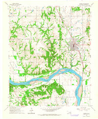
1963 · Coweta
USGS Topo · 1:24,000

1965 · Fort Smith
USGS Topo · 1:250,000

1967 · Fort Smith
USGS Topo · 1:250,000
1971 · Beland
USGS Topo · 1:24,000
1971 · Okmulgee NE
USGS Topo · 1:24,000