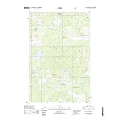
2020 Map of Haskill Mountain
USGS Topo · Published 2020About this map
Salish Mountains terrain dominates this portion of the Flathead National Forest in northwest Montana. The landscape is defined by the high point at Haskill Mtn and the broad opening of Browns Meadow to the southeast. Water drainage patterns are a primary feature here, with Lake Rogers serving as a central catchment while Ashley Creek and its various draws, such as Dower Draw, carve through the timbered slopes. Evidence of land use is visible through the extensive network of forest development roads, including Natl Forest Develop Road 5373 Rd and Natl Forest Develop Road 9158 Rd, which provide access to Kessler Flats and the surrounding backcountry. This map illustrates the intersection of federal forest management and the intricate topography of the Flathead region.
Find a feature on this map
35 named features on this map. Tap any name to fly to it.
Don’t see what you’re looking for? This feature index may not catch every label — zoom into the map to look around manually.
Map Details
Editions of this 2020 Haskill Mountain Map
This is the sole edition of this map. No revisions or reprints were ever made.
Other maps of this area

1920 · Flathead Lake
USGS Topo · 1:125,000

1943 · Kalispell
USGS Topo · 1:125,000

1956 · Wallace
USGS Topo · 1:250,000

1957 · Kalispell
USGS Topo · 1:250,000

1960 · Kalispell
USGS Topo · 1:250,000

1960 · Wallace
USGS Topo · 1:250,000

1961 · Kalispell
USGS Topo · 1:250,000

1962 · Kila
USGS Topo · 1:24,000

1962 · Blue Grass Ridge
USGS Topo · 1:24,000
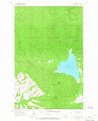
1964 · Lake Mary Ronan
USGS Topo · 1:24,000