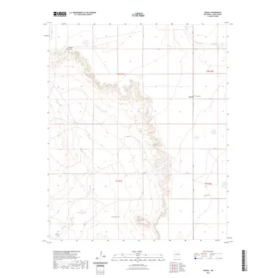
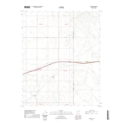
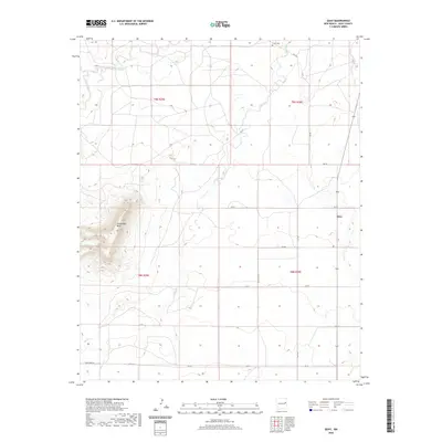
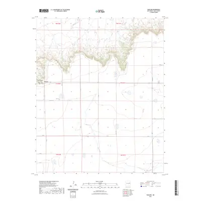
2023 Map of Hassell
USGS Topo · Published 2023About this map
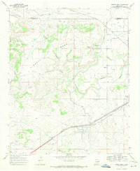
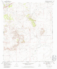
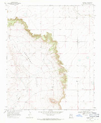
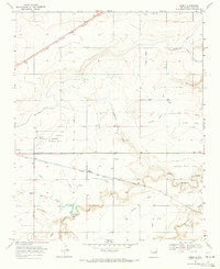
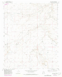
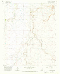
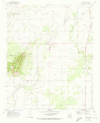
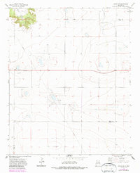
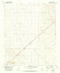
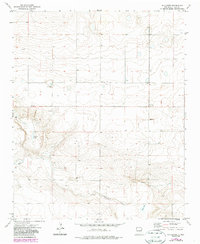
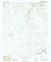
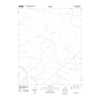
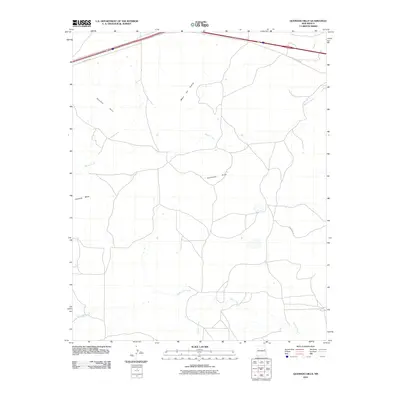
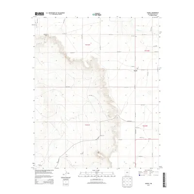
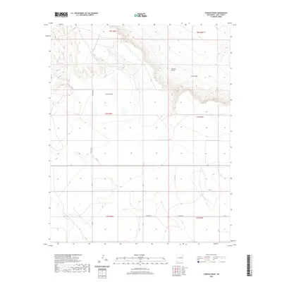
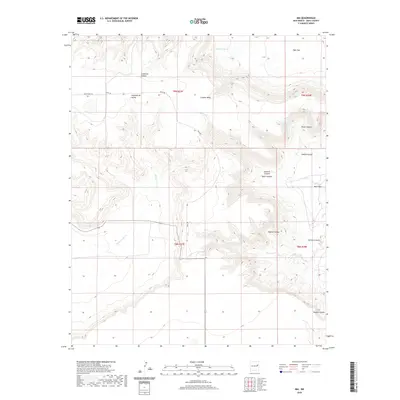
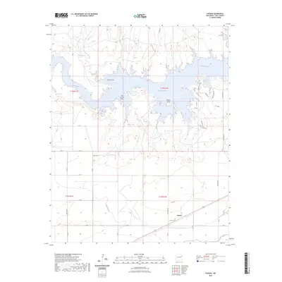
Gerhardt Valley and the prominent rising terrain of Lone Mesa define the topography of this Quay County landscape. The small settlement of Hassell sits at the junction of local roads, serving as a quiet focal point in a region characterized by expansive open country and rugged escarpments. Several family-named burial sites, including the Hassell Cem, House Cem, Lone Mesa Cem, and Gerhardt Cem, are scattered across the quadrangle, reflecting the early ranching and farming heritage of the area. Watercourses like Alamosa Creek in the northeast and Truchas Creek in the southwest cut through the arid terrain, illustrating the drainage patterns that shaped local land use. The map details a network of rural routes such as Q R 33 and Q R 28, which connect isolated homesteads and grazing lands across this high-plains environment.
Find a feature on this map
21 named features on this map. Tap any name to fly to it.
Don’t see what you’re looking for? This feature index may not catch every label — zoom into the map to look around manually.
Map Details
Editions of this 2023 Hassell Map
This is the sole edition of this map. No revisions or reprints were ever made.
Historical Maps of Hassell Through Time
260 maps found
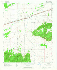
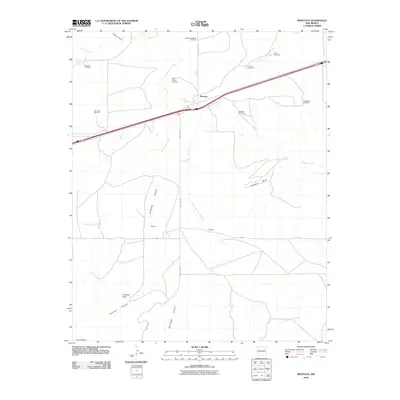
1964 Montoya
Quay County, NM
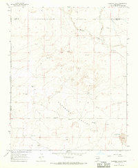
1966 Cherokee Valley
Quay County, NM
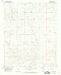
1966 Lockney
Quay County, NM
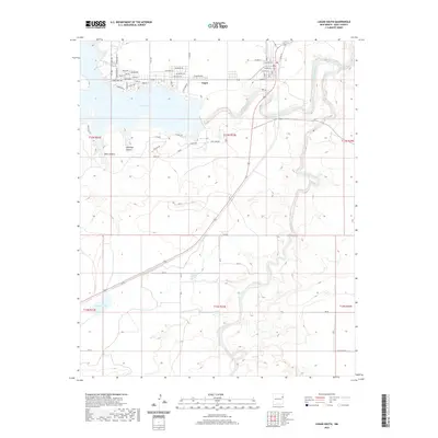
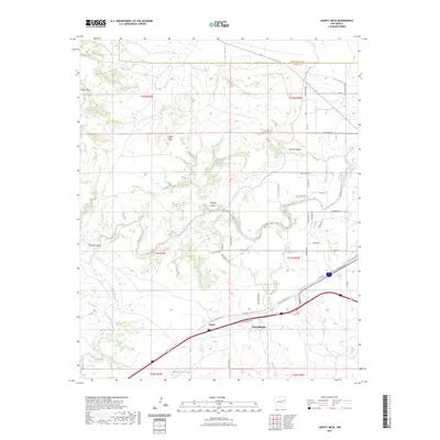
1967 Liberty Mesa
Quay County, NM
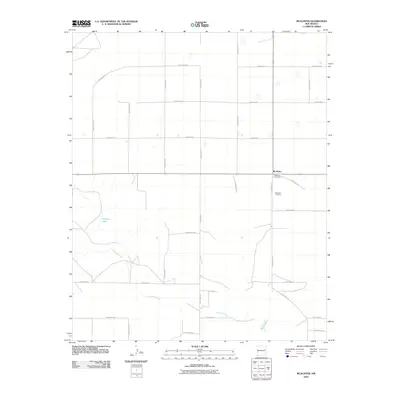
1968 Bard
Quay County, NM
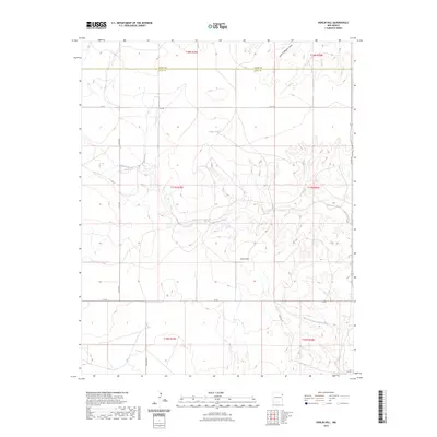
1968 Bedford Hill
Quay County, NM
1968 Blue Hole
Quay County, NM
1968 Briscoe Ranch
Quay County, NM

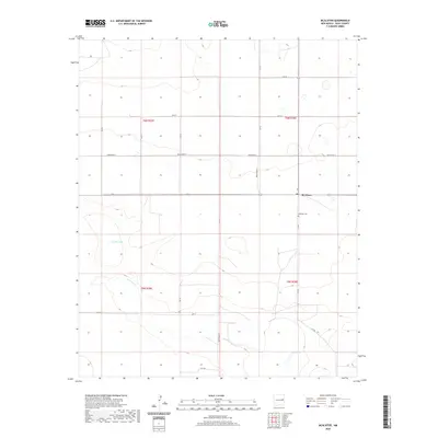
1968 Bulldog Mesa
Quay County, NM
1968 Cammak Camp
Quay County, NM
1968 Cow Canyon
Quay County, NM
1968 Glenrio
Quay County, NM
1968 Hassell
Quay County, NM
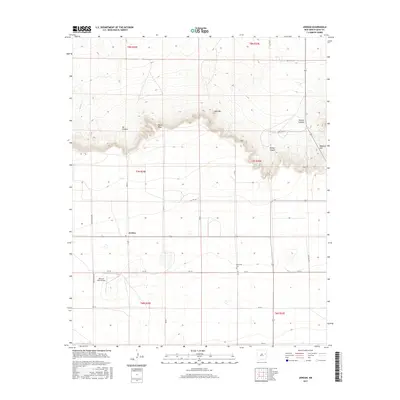
1968 Hudson
Quay County, NM
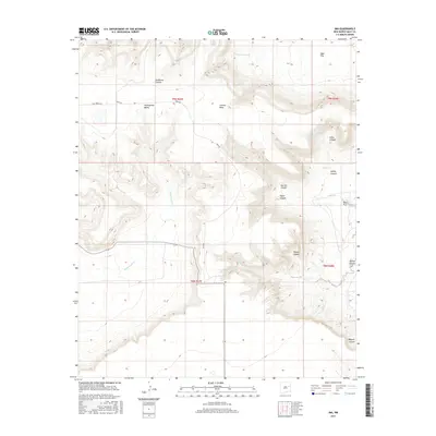
1968 Ima
Quay County, NM
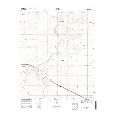
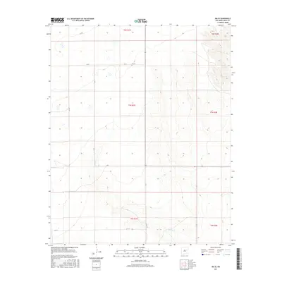
1968 Ima SE
Quay County, NM
1968 Lesbia
Quay County, NM
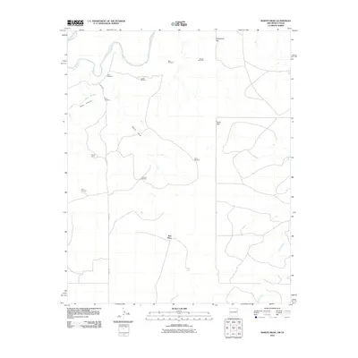
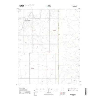
1968 Martin Draw
Quay County, NM
1968 Porter
Quay County, NM
1968 Quemado Hills
Quay County, NM
1968 Riley Camp
Quay County, NM
1968 Rock Camp
Quay County, NM
1968 Sanchez Springs
Quay County, NM
1968 San Jon NW
Quay County, NM
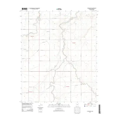
1968 Tucumcari SE
Quay County, NM
1970 Circles S Mesa
Quay County, NM
1970 Cunavea Basin
Quay County, NM
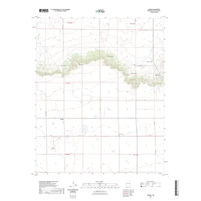
1970 Jordan
Quay County, NM
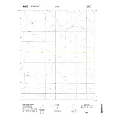
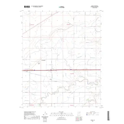
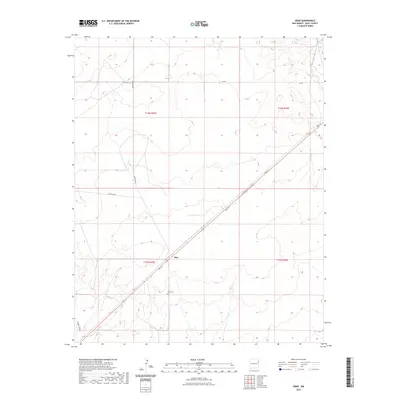
1970 Quay
Quay County, NM
1971 Apache Canyon
Quay County, NM
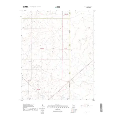
1971 Doyle Hill
Quay County, NM
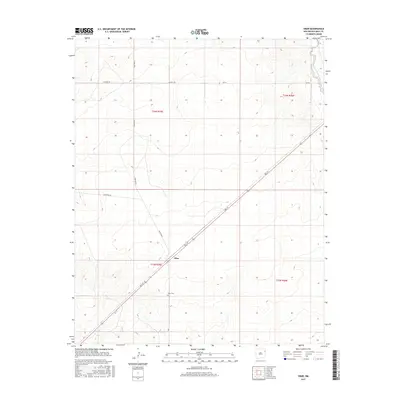
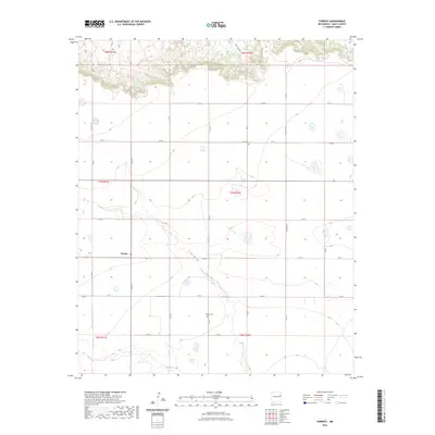
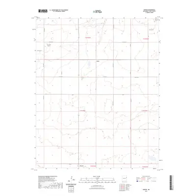
1971 Forrest
Quay County, NM
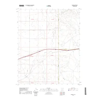
1971 Grady SW
Quay County, NM
1971 Kerlin Hill
Quay County, NM
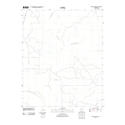
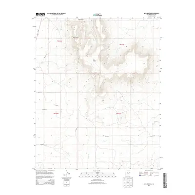
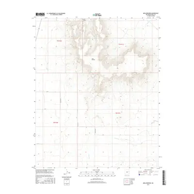
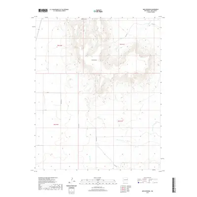
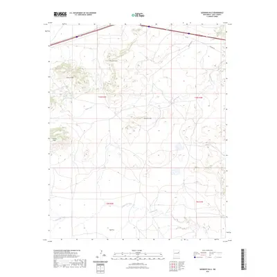
1971 Mesa Redonda
Quay County, NM
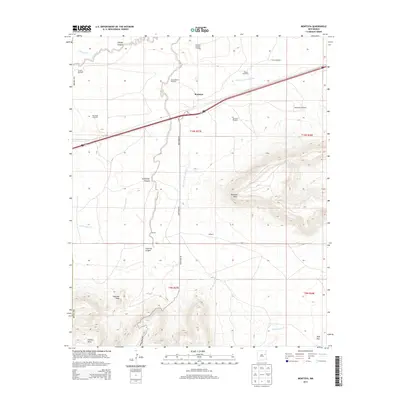
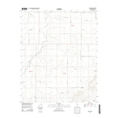
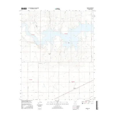
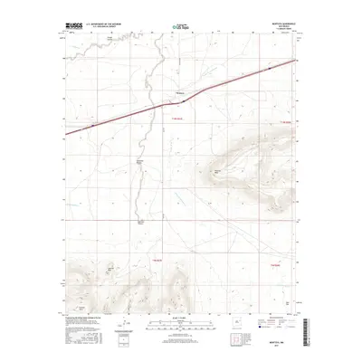
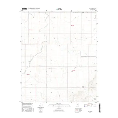
1971 Norton
Quay County, NM
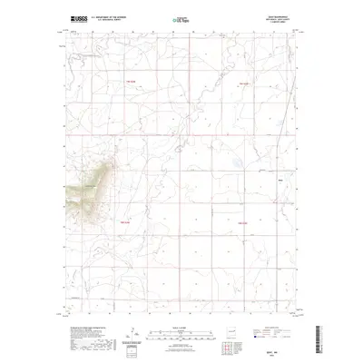
1971 Obar
Quay County, NM
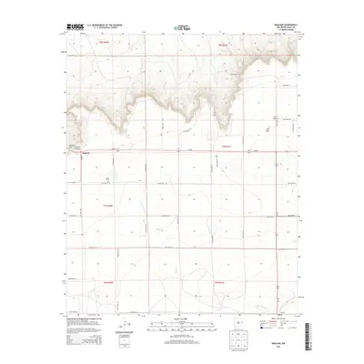
1971 Ragland
Quay County, NM
1971 Wheatland
Quay County, NM
1973 Field
Quay County, NM
1973 Mc Alister
Quay County, NM
1973 Weber City
Quay County, NM
1989 Logan NE
Quay County, NM
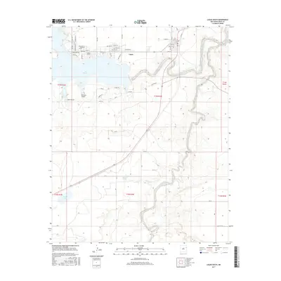
1989 Logan South
Quay County, NM
1989 Tuscocoillo Canyon
Quay County, NM
2010 Apache Canyon
Quay County, NM
2010 Bard
Quay County, NM
2010 Bedford Hill
Quay County, NM
2010 Blue Hole
Quay County, NM
2010 Briscoe Ranch
Quay County, NM
2010 Bulldog Mesa
Quay County, NM
2010 Cammak Camp
Quay County, NM
2010 Cherokee Valley
Quay County, NM
2010 Circle S Mesa
Quay County, NM
2010 Cow Canyon
Quay County, NM
2010 Cunavea Basin
Quay County, NM
2010 Doyle Hill
Quay County, NM
2010 Field
Quay County, NM
2010 Forrest
Quay County, NM
2010 Glenrio
Quay County, NM
2010 Grady SW
Quay County, NM
2010 Hassell
Quay County, NM
2010 Hudson
Quay County, NM
2010 Ima
Quay County, NM
2010 Ima SE
Quay County, NM
2010 Jordan
Quay County, NM
2010 Kerlin Hill
Quay County, NM
2010 Lesbia
Quay County, NM
2010 Liberty Mesa
Quay County, NM
2010 Lockney
Quay County, NM
2010 Logan NE
Quay County, NM
2010 Logan South
Quay County, NM
2010 Martin Draw
Quay County, NM
2010 McAlister
Quay County, NM
2010 Mesa Redonda
Quay County, NM
2010 Montoya
Quay County, NM
2010 Norton
Quay County, NM
2010 Obar
Quay County, NM
2010 Porter
Quay County, NM
2010 Quay
Quay County, NM
2010 Quemado Hills
Quay County, NM
2010 Ragland
Quay County, NM
2010 Riley Camp
Quay County, NM
2010 San Jon NW
Quay County, NM
2010 Tucumcari SE
Quay County, NM
2010 Tuscocoillo Canyon
Quay County, NM
2010 Weber City
Quay County, NM
2010 Wheatland
Quay County, NM
2013 Apache Canyon
Quay County, NM
2013 Bard
Quay County, NM
2013 Bedford Hill
Quay County, NM
2013 Blue Hole
Quay County, NM
2013 Briscoe Ranch
Quay County, NM
2013 Bulldog Mesa
Quay County, NM
2013 Cammak Camp
Quay County, NM
2013 Cherokee Valley
Quay County, NM
2013 Circle S Mesa
Quay County, NM
2013 Cow Canyon
Quay County, NM
2013 Cunavea Basin
Quay County, NM
2013 Doyle Hill
Quay County, NM
2013 Field
Quay County, NM
2013 Forrest
Quay County, NM
2013 Glenrio
Quay County, NM
2013 Grady SW
Quay County, NM
2013 Hassell
Quay County, NM
2013 Hudson
Quay County, NM
2013 Ima
Quay County, NM
2013 Ima SE
Quay County, NM
2013 Jordan
Quay County, NM
2013 Kerlin Hill
Quay County, NM
2013 Lesbia
Quay County, NM
2013 Liberty Mesa
Quay County, NM
2013 Lockney
Quay County, NM
2013 Logan NE
Quay County, NM
2013 Logan South
Quay County, NM
2013 Martin Draw
Quay County, NM
2013 McAlister
Quay County, NM
2013 Mesa Redonda
Quay County, NM
2013 Montoya
Quay County, NM
2013 Norton
Quay County, NM
2013 Obar
Quay County, NM
2013 Porter
Quay County, NM
2013 Quay
Quay County, NM
2013 Quemado Hills
Quay County, NM
2013 Ragland
Quay County, NM
2013 Riley Camp
Quay County, NM
2013 San Jon NW
Quay County, NM
2013 Tucumcari SE
Quay County, NM
2013 Tuscocoillo Canyon
Quay County, NM
2013 Weber City
Quay County, NM
2013 Wheatland
Quay County, NM
2017 Apache Canyon
Quay County, NM
2017 Bard
Quay County, NM
2017 Bedford Hill
Quay County, NM
2017 Blue Hole
Quay County, NM
2017 Briscoe Ranch
Quay County, NM
2017 Bulldog Mesa
Quay County, NM
2017 Cammak Camp
Quay County, NM
2017 Cherokee Valley
Quay County, NM
2017 Circle S Mesa
Quay County, NM
2017 Cow Canyon
Quay County, NM
2017 Cunavea Basin
Quay County, NM
2017 Doyle Hill
Quay County, NM
2017 Field
Quay County, NM
2017 Forrest
Quay County, NM
2017 Glenrio
Quay County, NM
2017 Grady SW
Quay County, NM
2017 Hassell
Quay County, NM
2017 Hudson
Quay County, NM
2017 Ima
Quay County, NM
2017 Ima SE
Quay County, NM
2017 Jordan
Quay County, NM
2017 Kerlin Hill
Quay County, NM
2017 Lesbia
Quay County, NM
2017 Liberty Mesa
Quay County, NM
2017 Lockney
Quay County, NM
2017 Logan NE
Quay County, NM
2017 Logan South
Quay County, NM
2017 Martin Draw
Quay County, NM
2017 McAlister
Quay County, NM
2017 Mesa Redonda
Quay County, NM
2017 Montoya
Quay County, NM
2017 Norton
Quay County, NM
2017 Obar
Quay County, NM
2017 Porter
Quay County, NM
2017 Quay
Quay County, NM
2017 Quemado Hills
Quay County, NM
2017 Ragland
Quay County, NM
2017 Riley Camp
Quay County, NM
2017 San Jon NW
Quay County, NM
2017 Tucumcari SE
Quay County, NM
2017 Tuscocoillo Canyon
Quay County, NM
2017 Weber City
Quay County, NM
2017 Wheatland
Quay County, NM
2020 Apache Canyon
Quay County, NM
2020 Bard
Quay County, NM
2020 Bedford Hill
Quay County, NM
2020 Blue Hole
Quay County, NM
2020 Briscoe Ranch
Quay County, NM
2020 Bulldog Mesa
Quay County, NM
2020 Cammak Camp
Quay County, NM
2020 Cherokee Valley
Quay County, NM
2020 Circle S Mesa
Quay County, NM
2020 Cow Canyon
Quay County, NM
2020 Cunavea Basin
Quay County, NM
2020 Doyle Hill
Quay County, NM
2020 Field
Quay County, NM
2020 Forrest
Quay County, NM
2020 Glenrio
Quay County, NM
2020 Grady SW
Quay County, NM
2020 Hassell
Quay County, NM
2020 Hudson
Quay County, NM
2020 Ima
Quay County, NM
2020 Ima SE
Quay County, NM
2020 Jordan
Quay County, NM
2020 Kerlin Hill
Quay County, NM
2020 Lesbia
Quay County, NM
2020 Liberty Mesa
Quay County, NM
2020 Lockney
Quay County, NM
2020 Logan NE
Quay County, NM
2020 Logan South
Quay County, NM
2020 Martin Draw
Quay County, NM
2020 McAlister
Quay County, NM
2020 Mesa Redonda
Quay County, NM
2020 Montoya
Quay County, NM
2020 Norton
Quay County, NM
2020 Obar
Quay County, NM
2020 Porter
Quay County, NM
2020 Quay
Quay County, NM
2020 Quemado Hills
Quay County, NM
2020 Ragland
Quay County, NM
2020 Riley Camp
Quay County, NM
2020 San Jon NW
Quay County, NM
2020 Tucumcari SE
Quay County, NM
2020 Tuscocoillo Canyon
Quay County, NM
2020 Weber City
Quay County, NM
2020 Wheatland
Quay County, NM
2023 Apache Canyon
Quay County, NM
2023 Bard
Quay County, NM
2023 Bedford Hill
Quay County, NM
2023 Blue Hole
Quay County, NM
2023 Briscoe Ranch
Quay County, NM
2023 Bulldog Mesa
Quay County, NM
2023 Cammak Camp
Quay County, NM
2023 Cherokee Valley
Quay County, NM
2023 Circle S Mesa
Quay County, NM
2023 Cow Canyon
Quay County, NM
2023 Cunavea Basin
Quay County, NM
2023 Doyle Hill
Quay County, NM
2023 Field
Quay County, NM
2023 Forrest
Quay County, NM
2023 Glenrio
Quay County, NM
2023 Grady SW
Quay County, NM
2023 Hassell
Quay County, NM
2023 Hudson
Quay County, NM
2023 Ima
Quay County, NM
2023 Ima SE
Quay County, NM
2023 Jordan
Quay County, NM
2023 Kerlin Hill
Quay County, NM
2023 Lesbia
Quay County, NM
2023 Liberty Mesa
Quay County, NM
2023 Lockney
Quay County, NM
2023 Logan NE
Quay County, NM
2023 Logan South
Quay County, NM
2023 Martin Draw
Quay County, NM
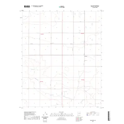
2023 McAlister
Quay County, NM
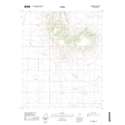
2023 Mesa Redonda
Quay County, NM
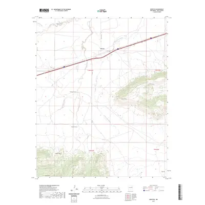
2023 Montoya
Quay County, NM
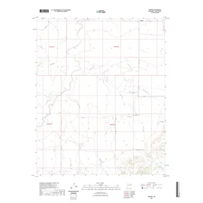
2023 Norton
Quay County, NM
2023 Obar
Quay County, NM
2023 Porter
Quay County, NM
2023 Quay
Quay County, NM
2023 Quemado Hills
Quay County, NM
2023 Ragland
Quay County, NM
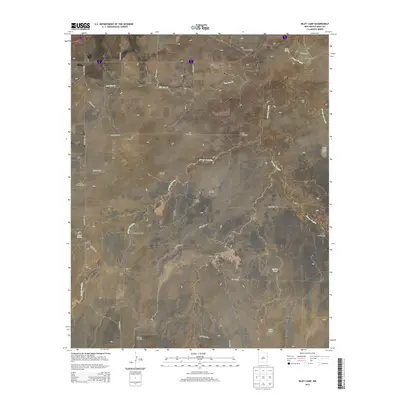
2023 Riley Camp
Quay County, NM
2023 San Jon NW
Quay County, NM
2023 Tucumcari SE
Quay County, NM
2023 Tuscocoillo Canyon
Quay County, NM
2023 Weber City
Quay County, NM
2023 Wheatland
Quay County, NM