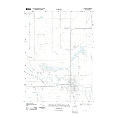
2011 Map of Hastings
USGS Topo · Published 2011About this map
The Thornapple River winds through the heart of the region, defining the orientation of Hastings and its immediate surroundings. This 2011 survey highlights the dense concentration of water bodies scattered across the landscape, including Algonquin Lake, Leach Lake, and Bear Hole Lake. The settlement pattern centers on the grid of the city, transitioning into a rural network of roads like W Carlton Center Rd and Kaiser Rd.
Find a feature on this map
94 named features on this map. Tap any name to fly to it.
Don’t see what you’re looking for? This feature index may not catch every label — zoom into the map to look around manually.
Map Details
Editions of this 2011 Hastings Map
This is the sole edition of this map. No revisions or reprints were ever made.
Other maps of this area

1916 · Ionia
USGS Topo · 1:62,500

1918 · Ionia
USGS Topo · 1:62,500

1918 · Lowell
USGS Topo · 1:62,500

1943 · Ionia
USGS Topo · 1:62,500

1943 · Lowell
USGS Topo · 1:62,500

1950 · Nashville
USGS Topo · 1:62,500

1951 · Nashville
USGS Topo · 1:62,500

1951 · Hastings
USGS Topo · 1:62,500

1958 · Grand Rapids
USGS Topo · 1:250,000

1961 · Grand Rapids
USGS Topo · 1:250,000