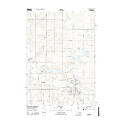
2014 Map of Hastings
USGS Topo · Published 2014About this map
Hastings serves as the regional hub of this Barry County landscape, where the Thornapple River winds past the city center and the Hastings Airport. The area is characterized by a dense network of glacial lakes and drains, including the sprawling Algonquin Lake and the smaller Leach Lake and Sugarbush Lake. Small-scale agriculture and residential development are interlaced with local history markers, from the clusters of Welcome Corner and Carlton to the numerous burial sites dotting the countryside. Genealogists will find several significant resting places such as Mt Calvary Cem and Riverside Cem, as well as unique individual markers like Ingraham Grave and Leach Grave. This modern topographic study shows the persistence of early road networks and rural settlements amidst the natural drainage systems of the Willow Marsh Drain and Geiger Drain.
Find a feature on this map
133 named features on this map. Tap any name to fly to it.
Don’t see what you’re looking for? This feature index may not catch every label — zoom into the map to look around manually.
Map Details
Editions of this 2014 Hastings Map
This is the sole edition of this map. No revisions or reprints were ever made.
Other maps of this area

1916 · Ionia
USGS Topo · 1:62,500

1918 · Ionia
USGS Topo · 1:62,500

1918 · Lowell
USGS Topo · 1:62,500

1943 · Ionia
USGS Topo · 1:62,500

1943 · Lowell
USGS Topo · 1:62,500

1950 · Nashville
USGS Topo · 1:62,500

1951 · Nashville
USGS Topo · 1:62,500

1951 · Hastings
USGS Topo · 1:62,500

1958 · Grand Rapids
USGS Topo · 1:250,000

1961 · Grand Rapids
USGS Topo · 1:250,000