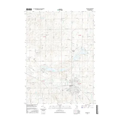
2017 Map of Hastings
USGS Topo · Published 2017About this map
The Thornapple River winds through the heart of Hastings, the primary hub of this south-central Michigan landscape. The town's grid is dense with street-level detail, bordered to the west by the Hastings Airport and to the south by Fall Cr. The surrounding countryside is defined by a heavy concentration of glacial lakes and marshy drains, such as Algonquin Lake, Leach Lake, and Sugarbush Lake. For genealogists, the map is particularly useful for locating small, rural burial sites including West Carlton Cem and Irving Cem, alongside individual markers like the Ingraham Grave and Leach Grave. The settlement at Welcome Corner and various family-named roads like Buehler Rd and Messer Rd indicate the area's deep-rooted agricultural and residential history.
Find a feature on this map
134 named features on this map. Tap any name to fly to it.
Don’t see what you’re looking for? This feature index may not catch every label — zoom into the map to look around manually.
Map Details
Editions of this 2017 Hastings Map
This is the sole edition of this map. No revisions or reprints were ever made.
Other maps of this area

1916 · Ionia
USGS Topo · 1:62,500

1918 · Ionia
USGS Topo · 1:62,500

1918 · Lowell
USGS Topo · 1:62,500

1943 · Ionia
USGS Topo · 1:62,500

1943 · Lowell
USGS Topo · 1:62,500

1950 · Nashville
USGS Topo · 1:62,500

1951 · Nashville
USGS Topo · 1:62,500

1951 · Hastings
USGS Topo · 1:62,500

1958 · Grand Rapids
USGS Topo · 1:250,000

1961 · Grand Rapids
USGS Topo · 1:250,000