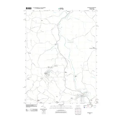
2010 Map of Hastings
USGS Topo · Published 2010About this map
Chest Creek winds through the heart of this northern Cambria County landscape, anchoring a series of small settlements and crossroads that define the region's rural character. In the southern portion of the sheet, the borough of Patton and the town of Hastings serve as primary hubs, surrounded by several smaller named locales including Slickport, Swedetown, and Saint Boniface. The distribution of these places suggests a history of localized industry and community centers, often connected by the winding routes of Brubaker Run and Little Chest Creek.
Find a feature on this map
90 named features on this map. Tap any name to fly to it.
Don’t see what you’re looking for? This feature index may not catch every label — zoom into the map to look around manually.
Map Details
Editions of this 2010 Hastings Map
This is the sole edition of this map. No revisions or reprints were ever made.
Other maps of this area

1902 · Patton
USGS Topo · 1:62,500

1902 · Barnesboro
USGS Topo · 1:62,500

1903 · Curwensville
USGS Topo · 1:62,500

1904 · Barnesboro
USGS Topo · 1:62,500

1904 · Patton
USGS Topo · 1:62,500

1906 · Punxsutawney
USGS Topo · 1:62,500

1939 · Curwensville
USGS Topo · 1:62,500

1939 · Punxsutawney
USGS Topo · 1:62,500

1942 · Curwensville
USGS Topo · 1:62,500

1942 · Punxsutawney
USGS Topo · 1:62,500
Featured Places
- Patton, PA
- Hastings, PA
- Clearfield Township, PA
- Reillys, East Carroll Township
- Sylvis, Burnside Township