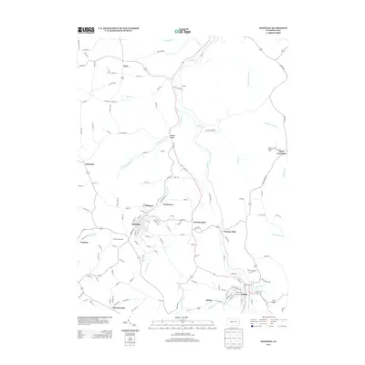
2013 Map of Hastings
USGS Topo · Published 2013About this map
Hastings and Patton anchor this corner of Cambria County, where the landscape is defined by the winding course of Chest Cr and its numerous tributaries. The map reveals a dense network of smaller coal-era settlements and neighborhood clusters, including Swedetown, Slickport, and Cymbria, many of which developed around the local mining and rail economy. This survey captures the transition from industrial roots to contemporary use, with the Cambrian Hills Golf course situated just west of the main settlement at Hastings.
Find a feature on this map
131 named features on this map. Tap any name to fly to it.
Don’t see what you’re looking for? This feature index may not catch every label — zoom into the map to look around manually.
Map Details
Editions of this 2013 Hastings Map
This is the sole edition of this map. No revisions or reprints were ever made.
Other maps of this area

1902 · Patton
USGS Topo · 1:62,500

1902 · Barnesboro
USGS Topo · 1:62,500

1903 · Curwensville
USGS Topo · 1:62,500

1904 · Barnesboro
USGS Topo · 1:62,500

1904 · Patton
USGS Topo · 1:62,500

1906 · Punxsutawney
USGS Topo · 1:62,500

1939 · Curwensville
USGS Topo · 1:62,500

1939 · Punxsutawney
USGS Topo · 1:62,500

1942 · Curwensville
USGS Topo · 1:62,500

1942 · Punxsutawney
USGS Topo · 1:62,500
Featured Places
- Patton, PA
- Hastings, PA
- Clearfield Township, PA
- Reillys, East Carroll Township
- Sylvis, Burnside Township