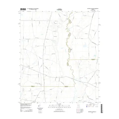
2014 Map of Hastings Fish Pond
USGS Topo · Published 2014About this map
The Alapaha River carves a winding path along the boundary of Atkinson and Berrien Counties, defining the rural landscape of this South Georgia region. This 2014 survey documents a territory dominated by agricultural holdings and small family landmarks, where the river's serpentine course is punctuated by oxbow features such as Round Lake and Half Moon Lake. In the eastern portion of the quadrangle, the Hasting Fish Pond and Butchers Pond suggest a landscape managed for local recreation and water resources.
Find a feature on this map
91 named features on this map. Tap any name to fly to it.
Don’t see what you’re looking for? This feature index may not catch every label — zoom into the map to look around manually.
Map Details
Editions of this 2014 Hastings Fish Pond Map
This is the sole edition of this map. No revisions or reprints were ever made.
Other maps of this area

1953 · Waycross
USGS Topo · 1:250,000

1958 · Waycross
USGS Topo · 1:250,000

1968 · Lakeland
USGS Topo · 1:24,000

1972 · Tenmile Bay
USGS Topo · 1:24,000

1972 · Kirkland
USGS Topo · 1:24,000

1972 · Willacoochee
USGS Topo · 1:24,000

1972 · Sirmans
USGS Topo · 1:24,000

1972 · Henderson Still
USGS Topo · 1:24,000
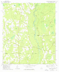
1977 · Hastings Fish Pond
USGS Topo · 1:24,000
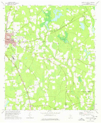
1978 · Nashville East
USGS Topo · 1:24,000