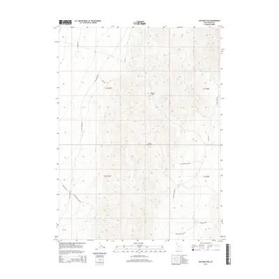
2014 Map of Hastings Pass
USGS Topo · Published 2014About this map
Hastings Pass serves as a critical geographic notch through the high ridges of the Cedar Mountains in Tooele County. This arid landscape is defined by its strategic water sources and historical transit routes, most notably the eponymous pass and vital watering points like Redlum Spring and Henry Spring to the south. The complex network of unimproved roads reflects the area's history of resource extraction and range management, with labels such as Mining Rd and Aragonite Rd suggesting a landscape driven by geological interests. Other specialized routes like Deseret Well Rd and Indian Feather Rd crisscross the townships, providing access to this high-desert environment where the local relief rises sharply from the basin floor to over 6,000 feet.
Find a feature on this map
20 named features on this map. Tap any name to fly to it.
Don’t see what you’re looking for? This feature index may not catch every label — zoom into the map to look around manually.
Map Details
Editions of this 2014 Hastings Pass Map
This is the sole edition of this map. No revisions or reprints were ever made.
Other maps of this area

1885 · Tooele Valley
USGS Topo · 1:250,000

1953 · Tooele
USGS Topo · 1:250,000

1955 · Tooele
USGS Topo · 1:250,000

1973 · Ripple Valley
USGS Topo · 1:24,000

1973 · Delle
USGS Topo · 1:24,000

1973 · Hastings Pass NE
USGS Topo · 1:24,000

1973 · Low
USGS Topo · 1:24,000

1973 · Quincy Spring
USGS Topo · 1:24,000

1973 · Hastings Pass
USGS Topo · 1:24,000

1973 · Aragonite SE
USGS Topo · 1:24,000