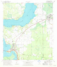
1968 Map of Hastings
USGS Topo · Published 1971About this map
The St Johns River defines the western edge of this coastal plain landscape, where the wide reach of the river gives way to the agricultural and rail-connected interior of St. Johns and Putnam counties. In the late 1960s, Hastings stands as a primary hub of activity, supported by the Florida East Coast railroad and schools like Harris Sch. Further south, East Palatka serves as another focal point of settlement along the riverbank. This survey documents the intersection of rural life and civil infrastructure, from the County Prison Farm and County Fairgrounds to numerous rural congregations including Orange Mills Ch and St Pauls Ch. A significant engineering projection is visible at the southern edge: the Cross Florida Barge Canal Proposed, a massive infrastructure project intended to link the Atlantic and Gulf coasts.
Find a feature on this map
62 named features on this map. Tap any name to fly to it.
Don’t see what you’re looking for? This feature index may not catch every label — zoom into the map to look around manually.
Map Details
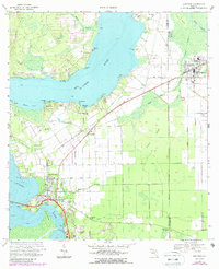
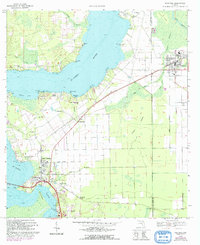
Editions of this 1968 Hastings Map
3 editions found
Other maps of this area

1912 · Palatka
USGS Topo · 1:48,000

1915 · Palatka
USGS Topo · 1:62,500

1937 · Elkton
USGS Topo · 1:24,000

1937 · Dinner Island
USGS Topo · 1:48,000

1943 · St. Augustine
USGS Topo · 1:62,500

1943 · Dinner Island
USGS Topo · 1:62,500

1944 · Dinner Island
USGS Topo · 1:62,500

1947 · Bostwick
USGS Topo · 1:50,000

1949 · Bostwick
USGS Topo · 1:24,000
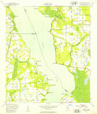
1949 · Riverdale
USGS Topo · 1:24,000